Automobiles and Roads in San Antonio
from 1944 to the present
Automobiles and Roads in San Antonio from 1944 to the presen
San Antonio leaders began serious planning for the post war era in 1944. The city was experiencing phenomenal population growth because of World War II. Existing military bases were expanded and new ones were developed, including Lackland Air Force Base, which grew from what had been a brush covered bomb aiming site to become a national training base for all enlisted air force personnel. As smaller towns already distressed by the Great Depression emptied across the region, as resident's moved to take secure, well paying jobs in San Antonio, the city’s population jumped from just over 230,000 in 1940 to well over 400,000. Planners knew that a much improved network of arterial roads would be needed to move the increasing numbers of residents if the city was to avoid gridlock once wartime travel restrictions and gasoline rationing were lifted.
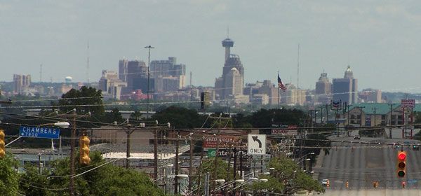
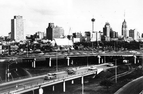
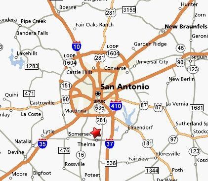
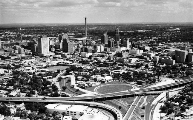
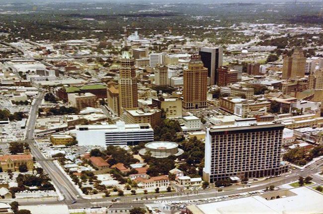
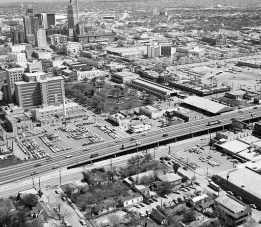
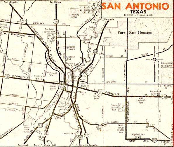
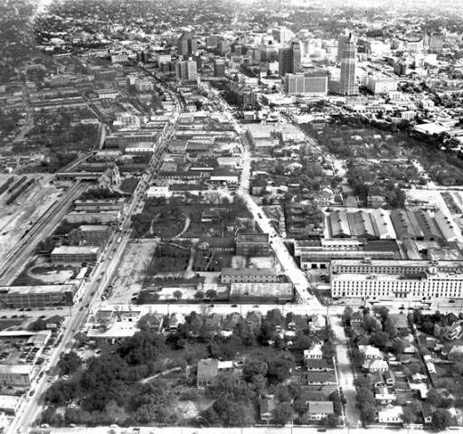
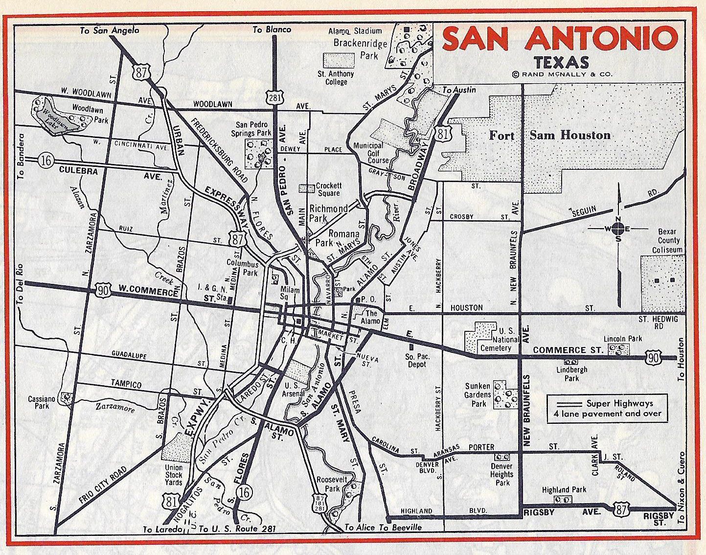
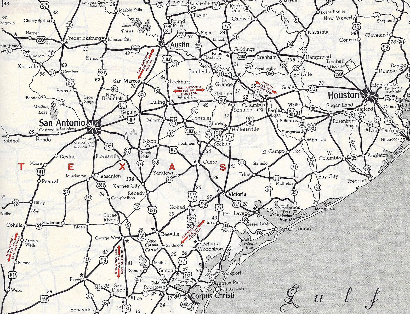
San Antonio maps and aerial views
San Antonio's actions were happening across the country. In 1944 Congress passed the most important piece of road related legislation since the original Federal Road Act of 1916. Reauthorized every four years, the 1944 FRA created a fourth tier of roads in the USA, intercity expressways, also known as interstate highways. The other three were urban, farm to market and highways between towns. The new roads were to be multi-lane, limited access highways that would bypass most urban areas except major cities where they would literally be bulldozed through. Some 40,000 miles were proposed, to be funded 50/50 by the Federal and individual state governments. Most people give 1956 as the date for the beginning of the interstate system but this ignores the many tolled highways, such as the New Jersey Turnpike, created before this date. Only one tolled road was created in Texas, between Dallas and Fort Worth. This became a “Freeway” as opposed to a “Tollway,” following the 1956 Act during the Eisenhower administration in 1956, when the funding mechanism became 90% Federal and 10% state.
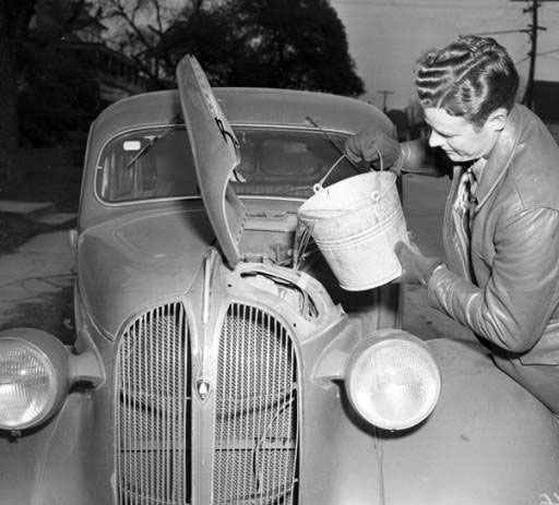
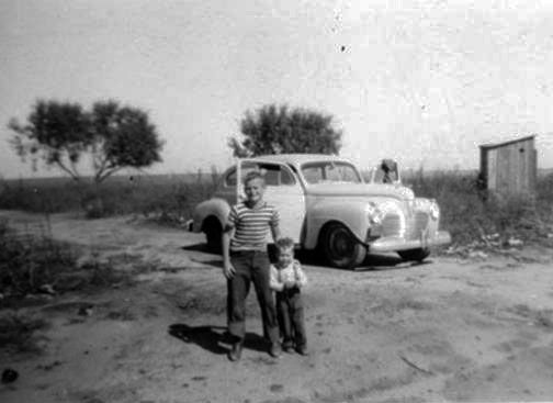
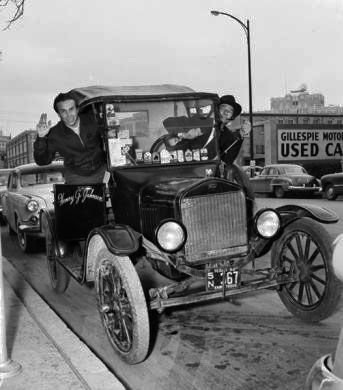
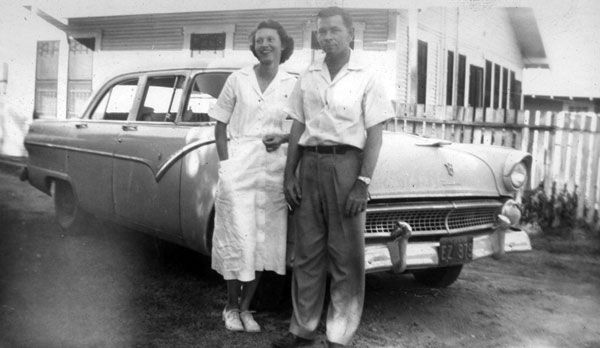
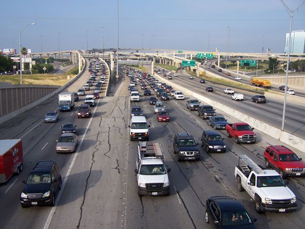
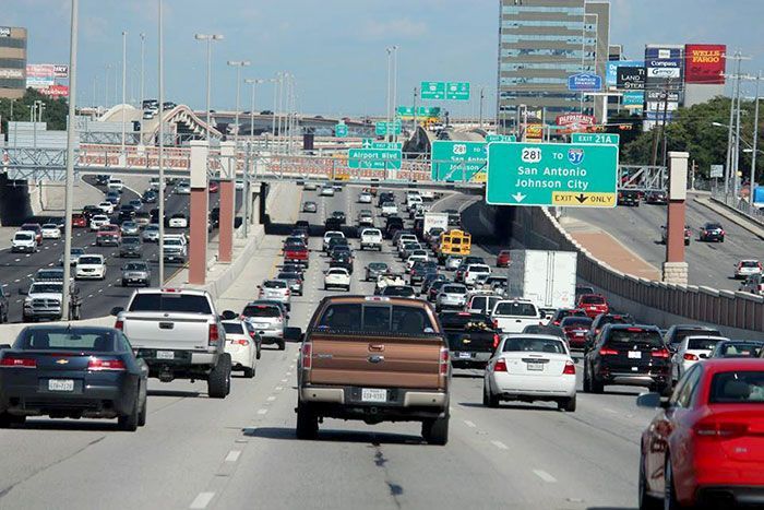
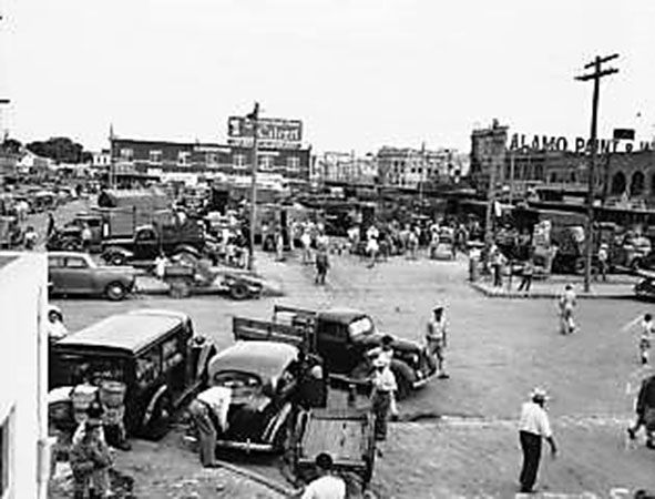
San Antonio People and Cars
During the depression the federal government’s share of road construction costs had already risen from around 10% to almost half. Due to political pressures Congress emphasized spending on farm to market roads at the expense of limited access highways. As a result almost none existed outside of California and the northeast of the country in 1940. Of the 190,000 miles of roads in Texas, just 26,805 could be classified as interstate in nature and none were limited access. Most had only two lanes, “B” roads by today’s standards. Of the nation’s three million miles of roads only half had been graded, graveled and drained and therefore classifiable as all weather roads. With war once again on the horizon, plans for the nation's road network in 1940 proposed that 75,000 miles of the nation’s roads be designated strategic highways. Of these vital routes, 14,000 miles were found to be too weak and 4,000 miles too narrow. Over 24,000 bridges needed to be upgraded or replaced. Work on other roads was suspended to concentrate on urgently needed military projects. Fortunately the railroads were better prepared this time. The chaos during World War One was avoided and they carried the bulk of military supplies during the war, but suffered enormous wear and tear due to manpower and material shortages as did a great deal of the road network as well.
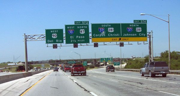
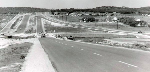
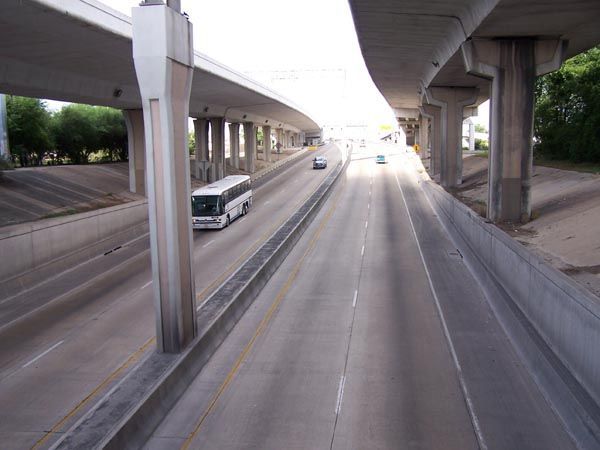
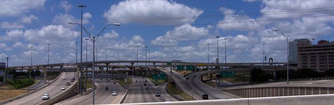
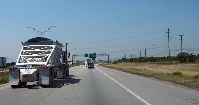
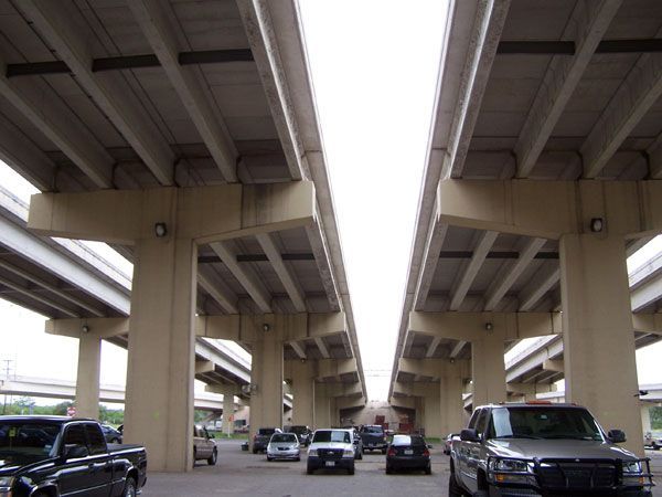
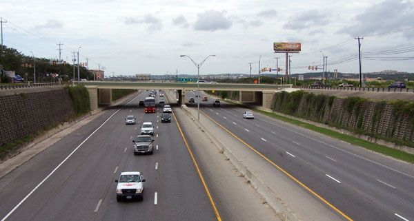
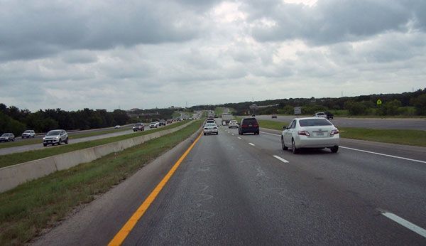
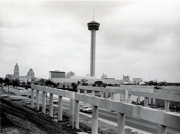
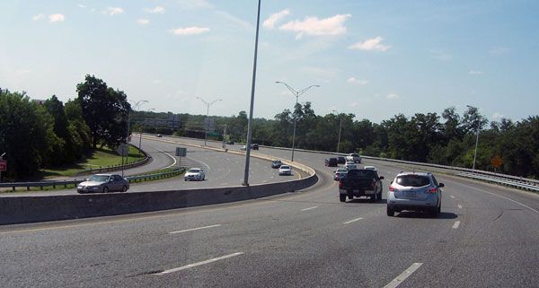
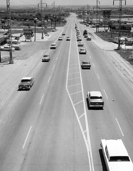
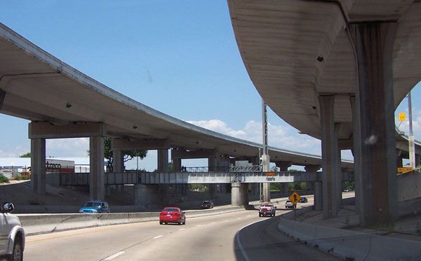
US 87 / IH 10 in San Antonio
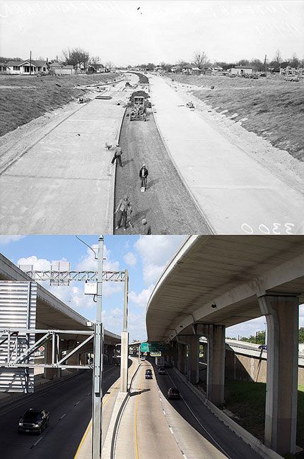
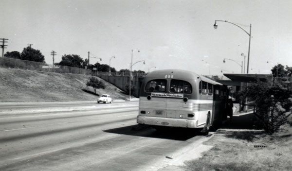
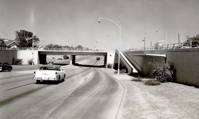
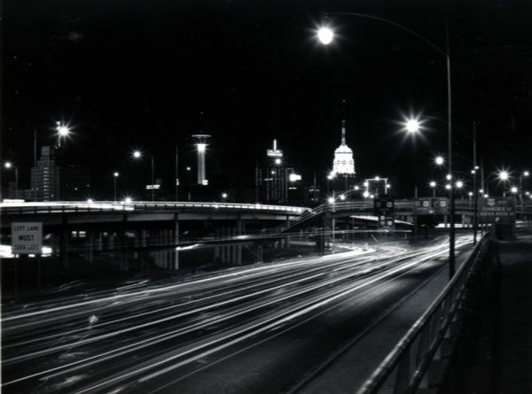
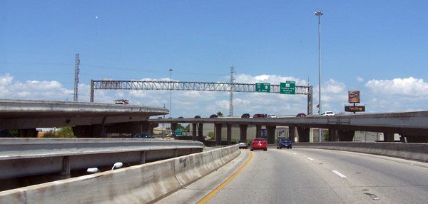
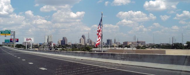
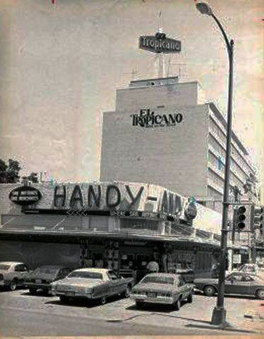
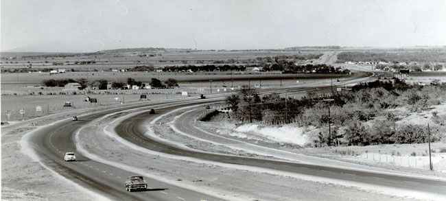
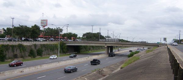
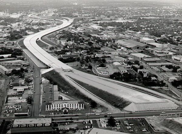
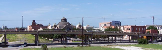
In 1949 a three-quarter mile section of San Antonio’s first urban freeway, US 87, now part of IH 10, opened between Martin Street and Woodlawn Avenue, quite a boost for the Handy Andy supermarket located there. As in the rest of the country, initial progress on this and other roads was greeted with enthusiasm. It would not be until the 1970s that people started pushing back against the construction of freeways which, up till then, bulldozed through existing communities if they were in the way with virtual impunity. A section of US 81, now IH 35, between Alamo Street and Broadway, was completed in 1956.
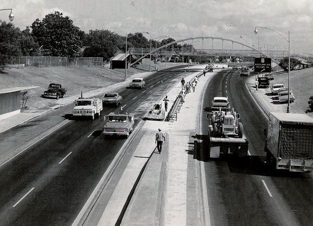
US 81 / IH 35 in San Antonio
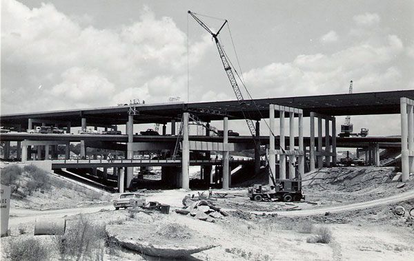
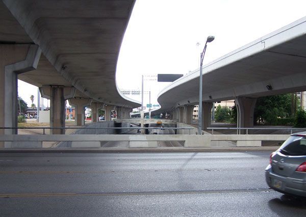
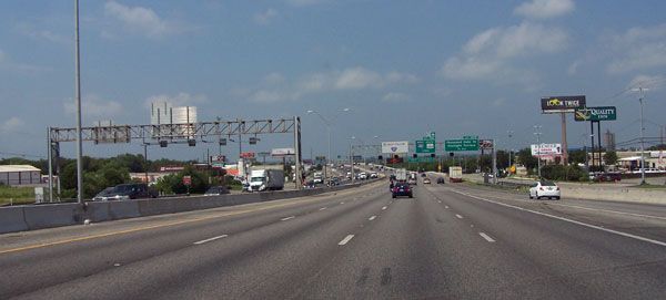
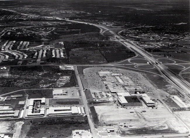
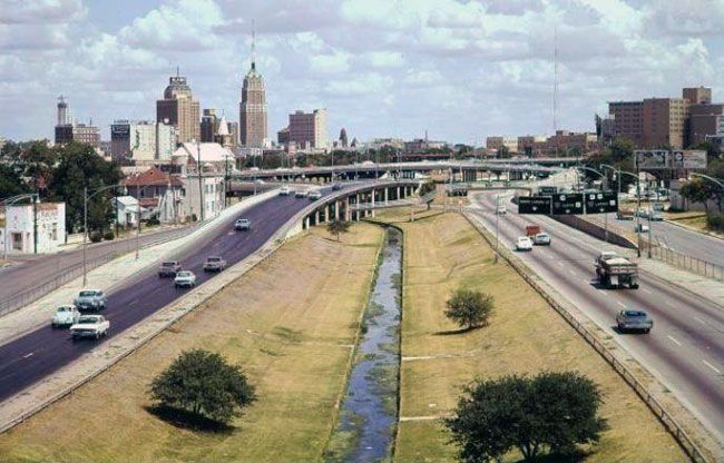
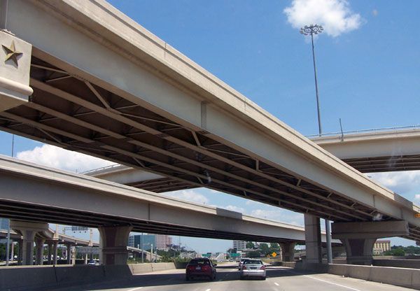
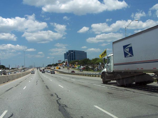
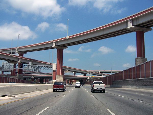
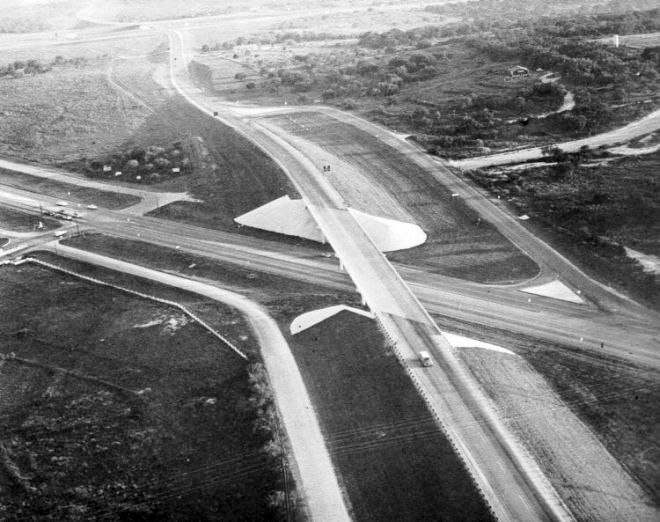
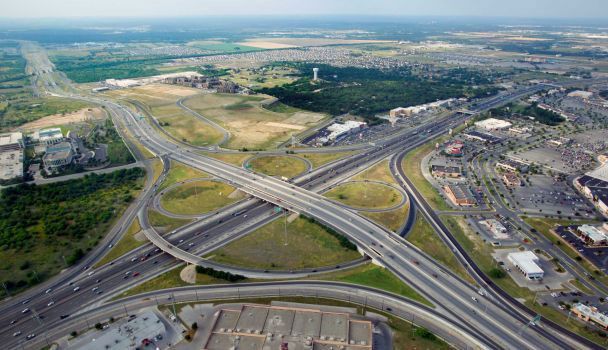
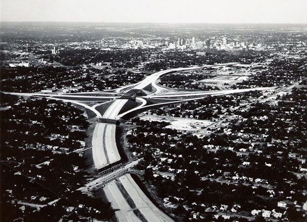
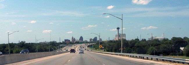
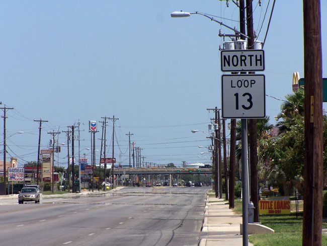
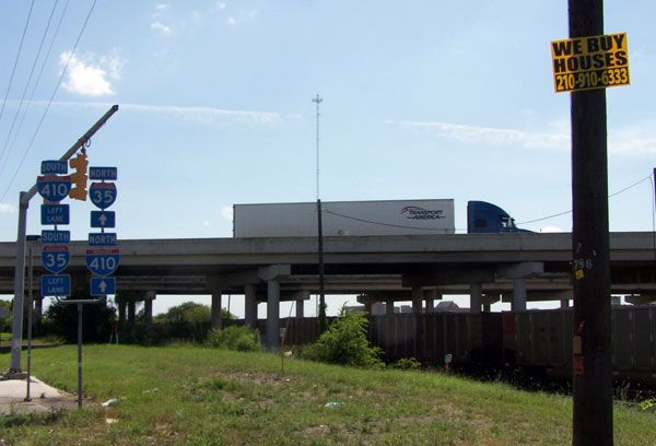
Upgrades and extensions of the northern section of old Loop 13 began in 1957 and the result was renamed Loop 410. At around fifty miles in circumference, it was completed in 1967. The city’s first mall, initially called Wonderland then Crossroads and now Wonderland again, opened at the intersection of IH 10 and Loop 410 in Balcones Heights in 1960, changing the shopping habits of the city and putting further strain on downtown retailers. By 1964 IH 10 stretched from the eastern edge of the city all the way to De Zavala in the north-west.
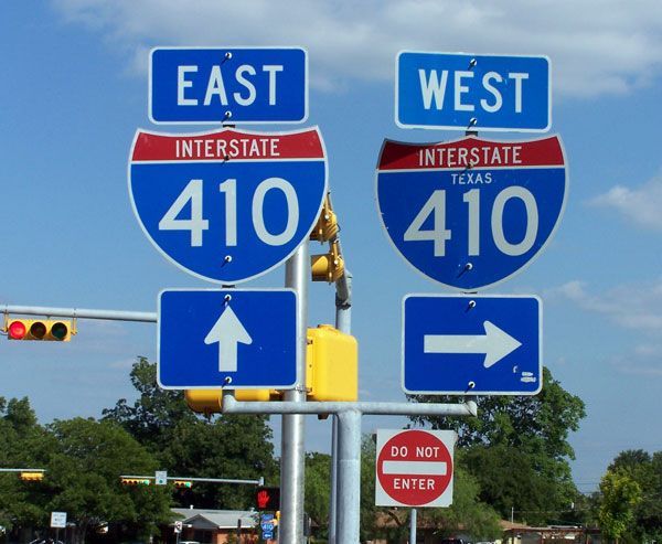
Loop 410 in San Antonio
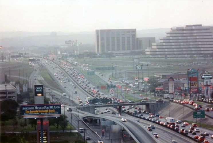
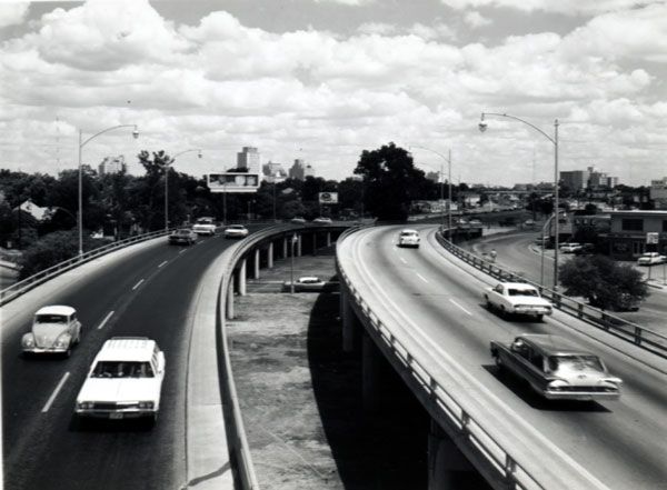
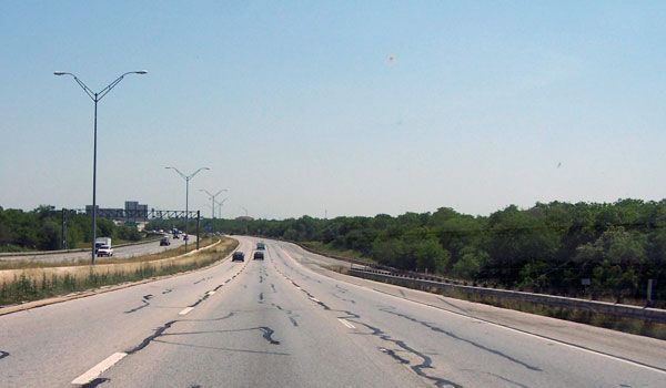
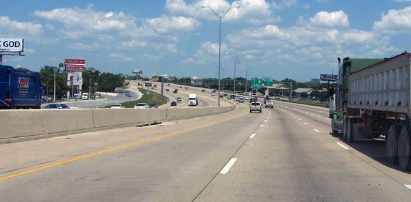
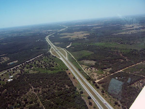
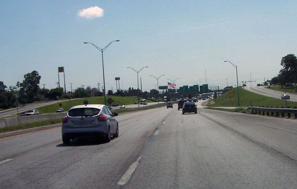
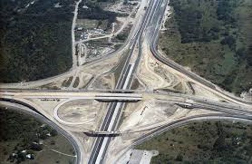
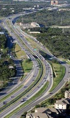
The first section of Loop 1604, between IH 10 and Highway 281 was completed in 1958. The entire loop was completed in 1977. At just over 95 miles in length, it absorbed sections of a number of different roads as it was completed. As San Antonio continues to expand, Loop 1604 has gained many new lanes and improvements. New housing subdivisions and shopping centers on the north side, stretching from Highway 90 to IH 35, are being built at a frenetic pace as the city’s population heads to the one and a quarter million mark and beyond. By contrast much of the southern side is still a two lane highway, winding through the fertile farmland still to be found in south Bexar County. With the Toyota manufacturing plant, opened in 2006, acting like a magnet, and the new A & M University campus completed in 2009, it is only a mater of time before development takes over here as well.
Loop 1604 in San Antonio


Following a national trend, the easy passage given to earlier projects, such as IH 35, which was allowed to cut through well established communities on the east side almost without comment, came to a screeching halt in the 1970s when plans for an extension of IH 37 from Corpus Christi to the International Airport and on towards Blanco was proposed. The initial route proposed by the Department of Transportation involved going through a small section of the south eastern corner of Olmos Park. The small city categorically denied permission, fearing both a loss of property values and a repetition of the bisection of Balcones Heights by IH 10. The second route was even less popular, as it involved going through the major green belt reserve in the Olmos Basin. As in other cities across the country, from New Orleans to Portland and, most famously, Boston, where halted projects are still called roads to nowhere, environmentalists and conservationists joined forced to stop the erosion of city parklands.
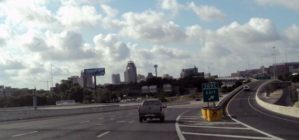
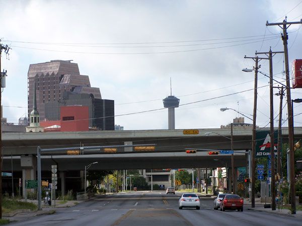
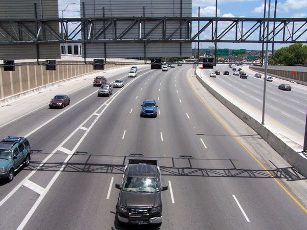
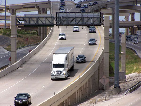
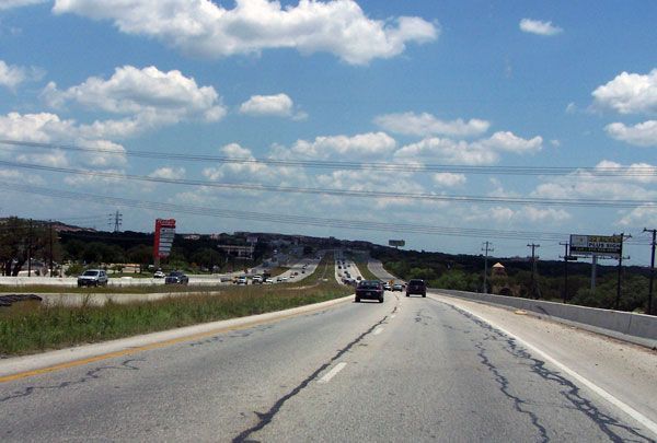
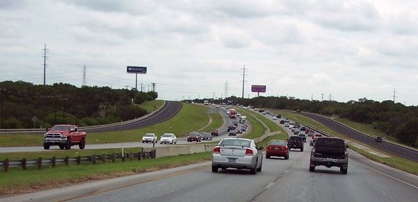
US 281 / IH 37 in San Antonio
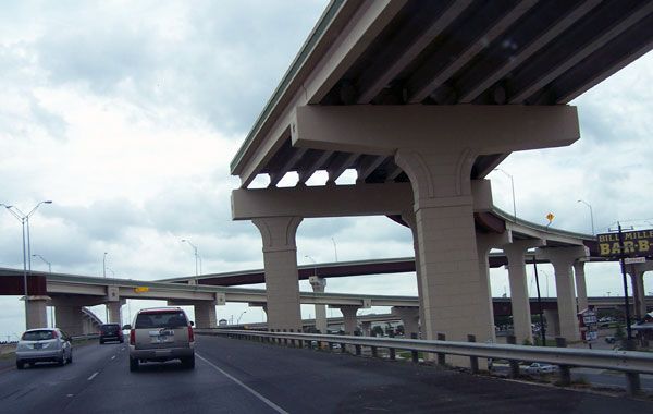

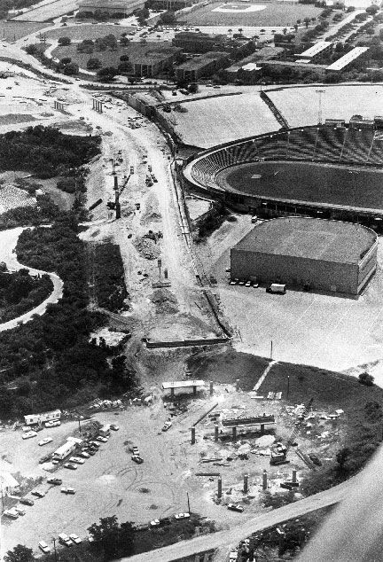
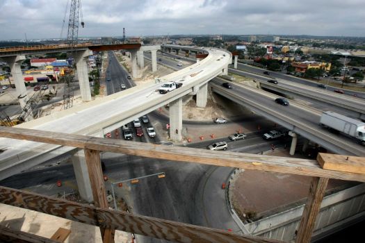
In San Antonio the charge was lead by the San Antonio Conservation Society, an organization with a long track record of resisting the depredations of the automobile age upon our historic city. It had successfully resisted the construction of parking structures under city parks and other schemes it deemed, at best, short sighted, but the ten year fight to protect the Omos Basin green belt would eventually prove unwinnable. Too many powerful forces were arrayed against them. The legal framework of the argument aginst the proejct rested on a provision within the national road construction statutes that forbade the use of parklands for federally funded expressways. However both Texan US Senators, Republican John Tower and Democrat Lloyd Bentsen, successfully passed legislation in 1973 that discontinued federal involvement in the project, which allowed the city and state to go it alone. This is why IH 37 technically ends at the intersection of IH 35 and the road continues as Texas Highway 281 even though it meets all the criteria of interstate highway construction.
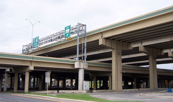
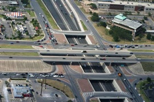
The Conservation Society, drained of funds and locked in an unpopular struggle, bowed to the inevitable and the north central corridor, State Highway 281, was finally opened to the public in February 1978. It was probably a poor consolation to them when it was named one of the three “most beautiful” urban expressways by the American Association of State Highway and Transportation Officials in 1981. Due to lack of funds and encroachment upon the needed land during the ten year delay, it would not be until 2008 that a non-surface road interchanges with Loops 410 was completed in 2008, costing far than it would have thirty years earlier. The interchange with 1604 is taking even longer. It was only partially completed as of 2014, thanks to lawsuits about its environmental impact pursued by opponents to the plan to add tolled lanes to HWY 281 outside the loop whih have prevented the ramps to the north of the loop being completed.
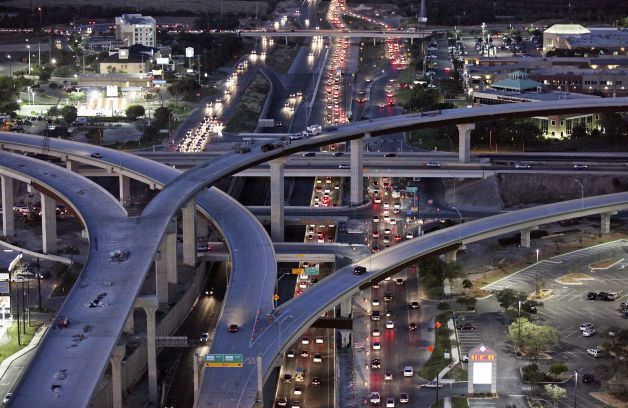
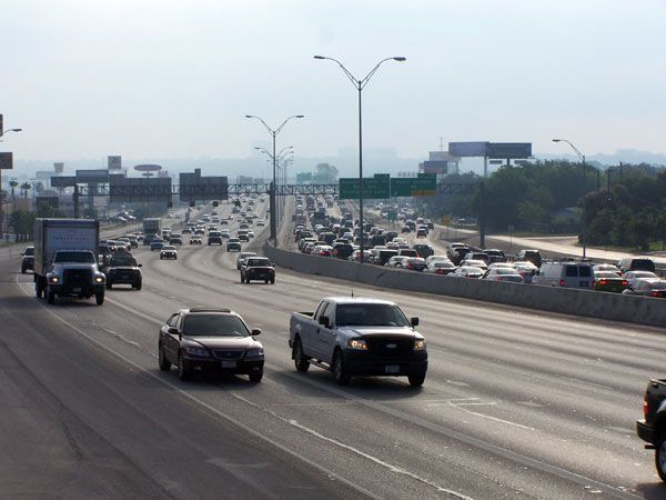
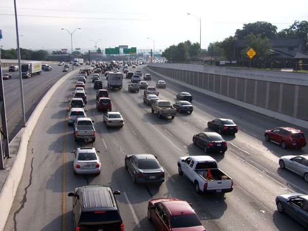
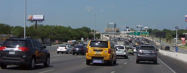
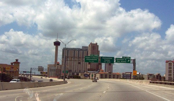
While we tend to think of freeways as ubiquitous, this is in fact only a reflection of how much we use them. Of San Antonio’s 5,150 miles of roads, only 211 miles, just 4.1% are limited access expressways. At the same time over 50% of all the miles driven in the city are made on these roads. This just goes to show how prescient the 1921 construction and funding compromise turned out to be. At that time, when arguments raged over which form of major roads should be given priority, it capped the amount of roads “interstate in nature” to 7% of the total in any state but allowed up to 60% of road spending to go towards them. (More more information on this, see previous chapter, linked from the right side column.)
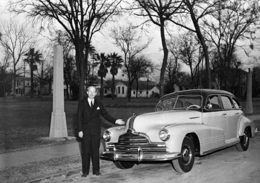
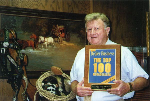
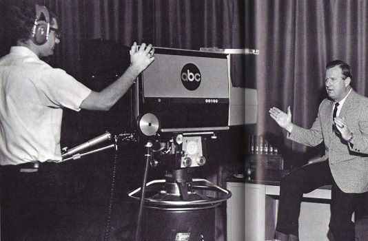
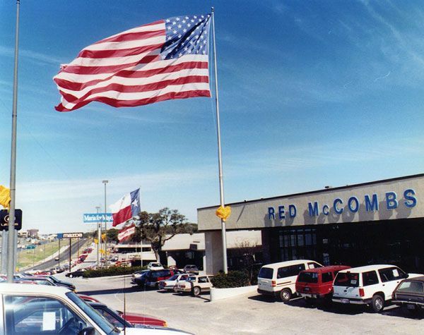
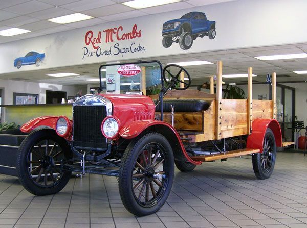
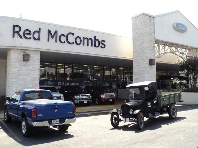
Red McCombs
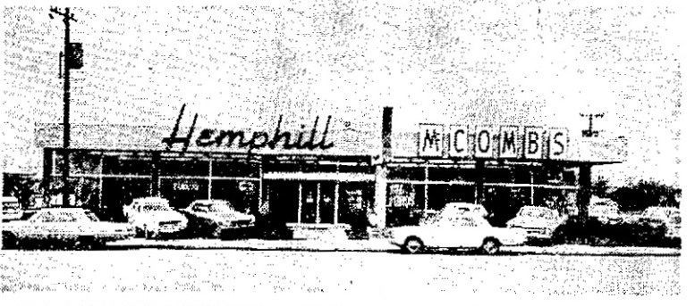
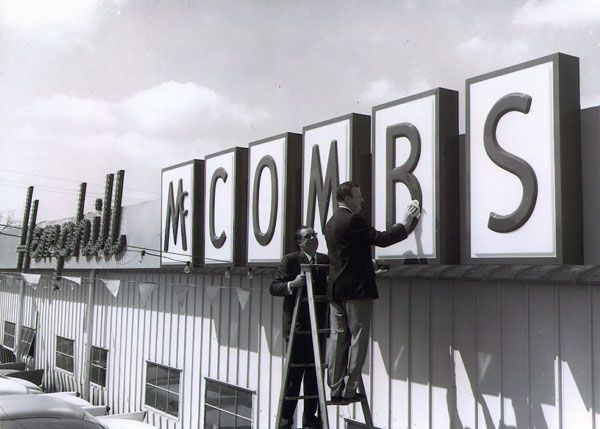
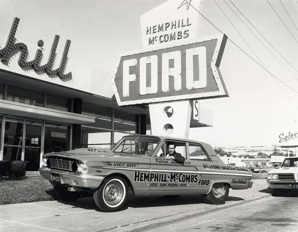
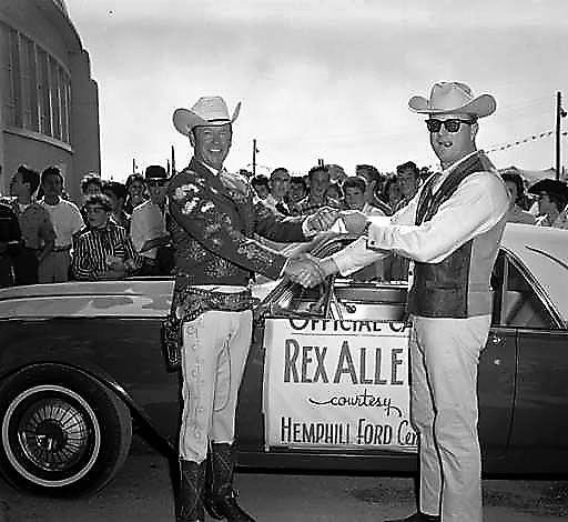
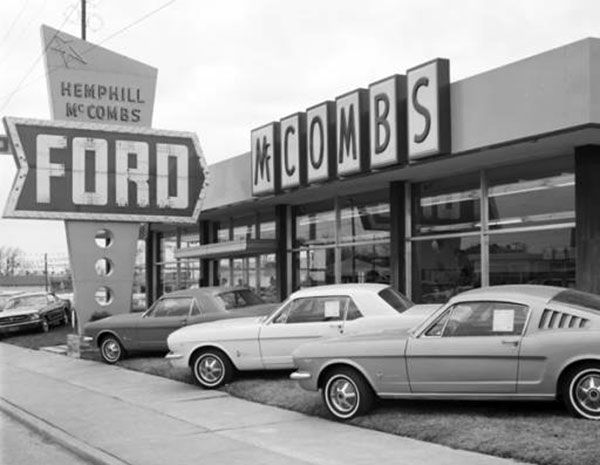
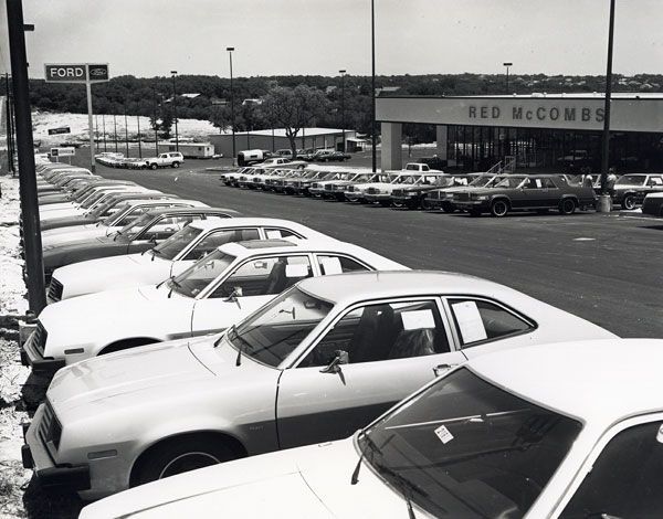
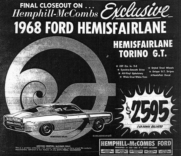
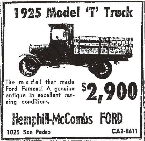
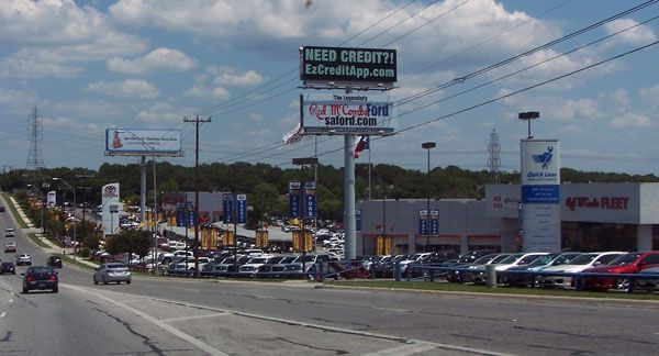
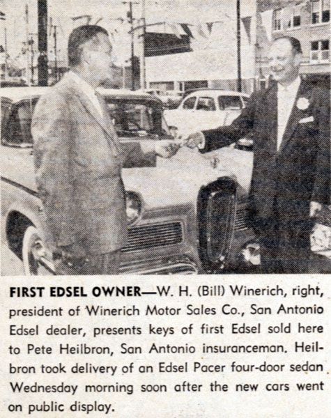
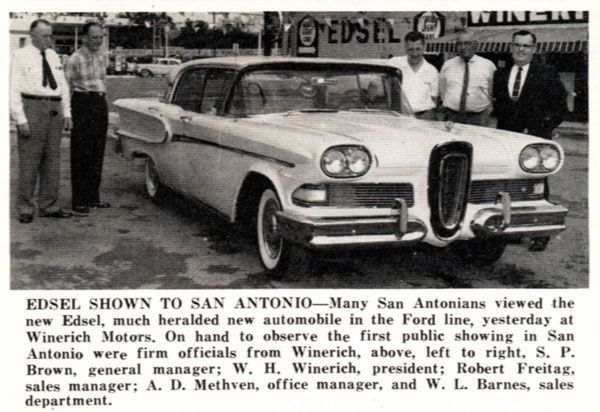
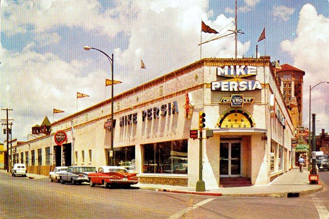
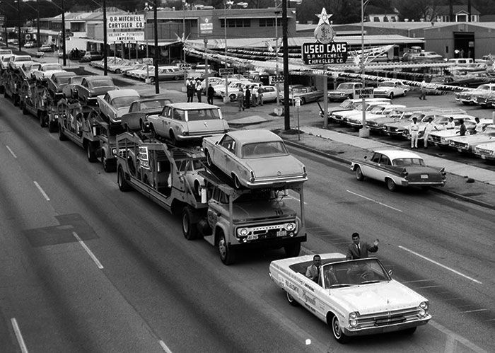
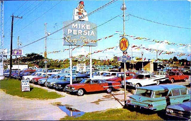
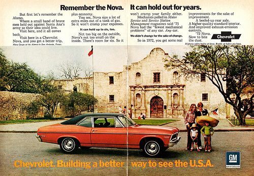
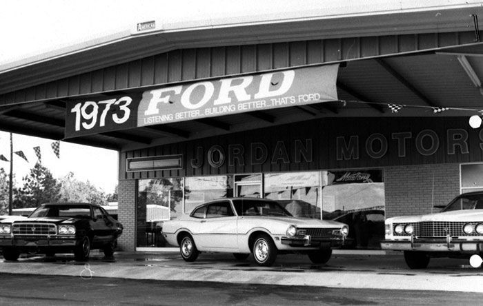
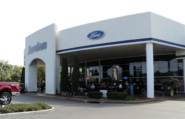
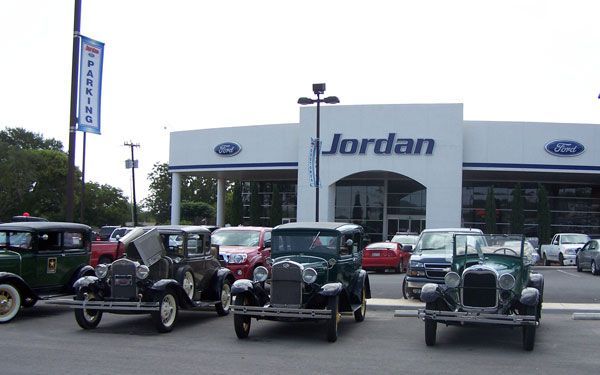
San Antonio Dealerships
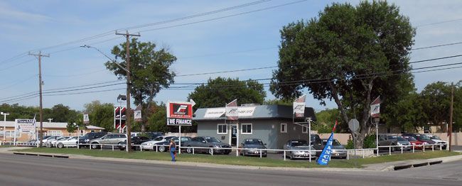
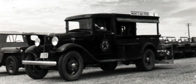
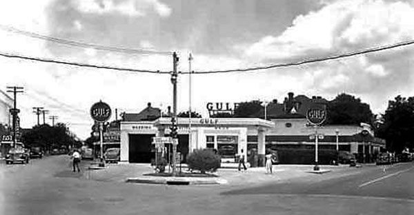
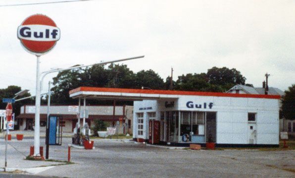
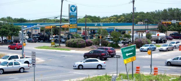
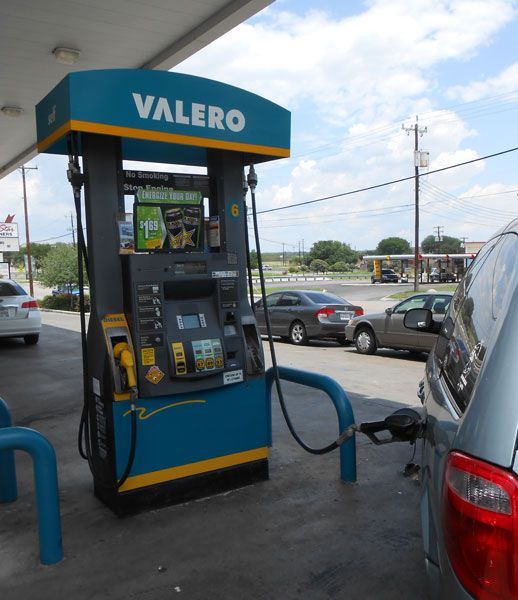
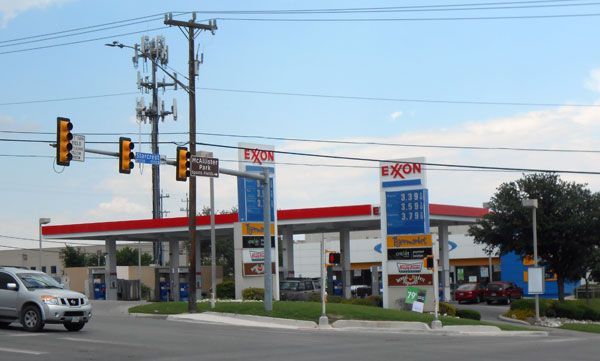
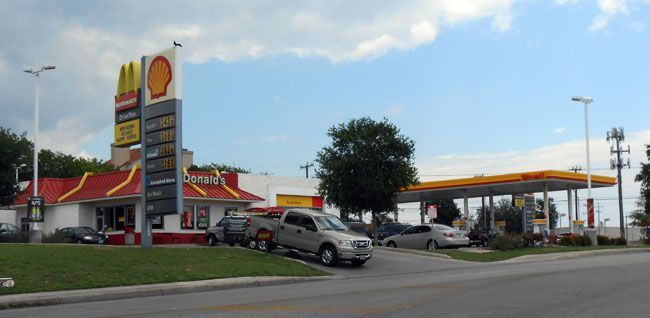
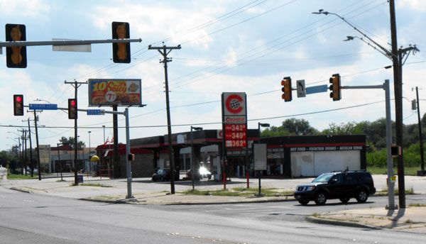
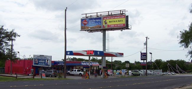
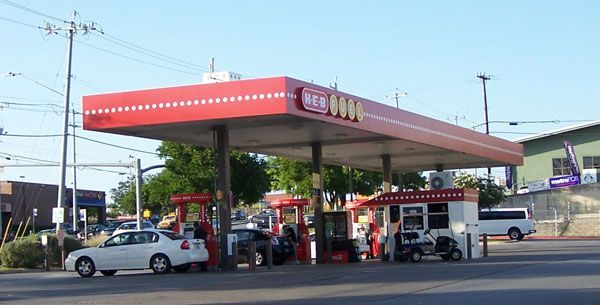
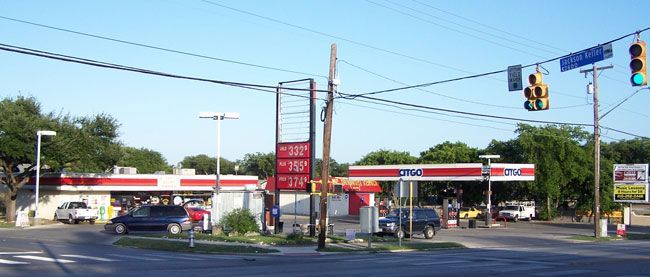
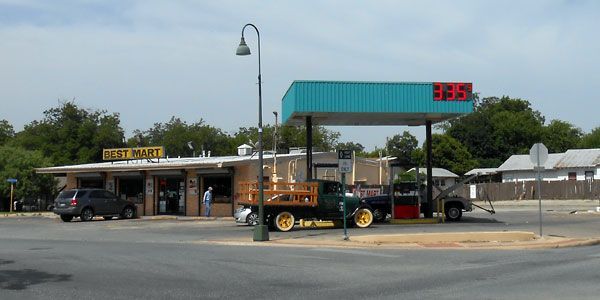
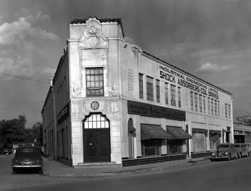
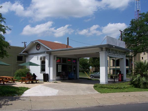
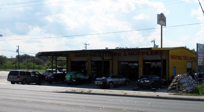
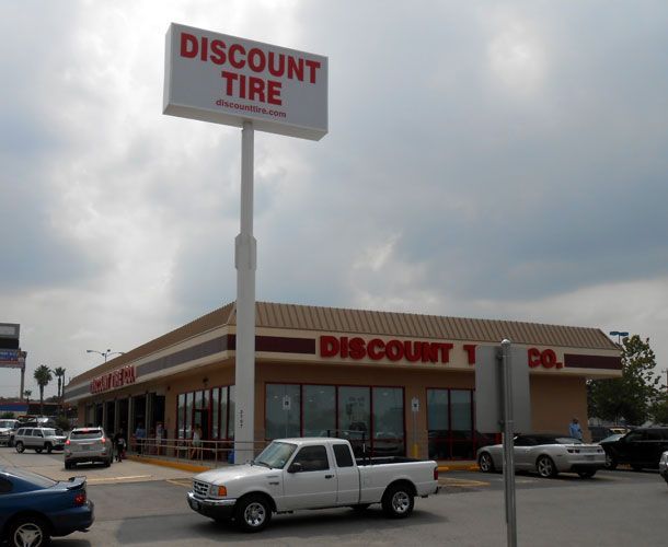
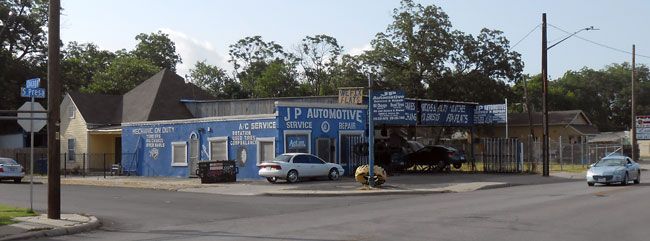
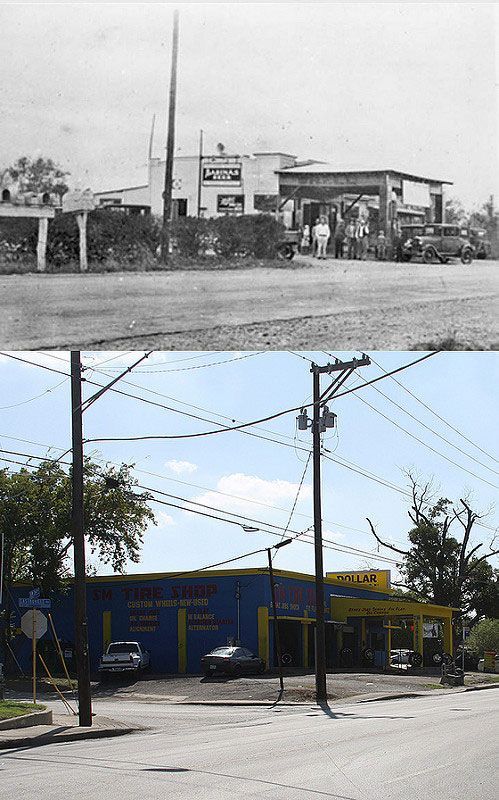
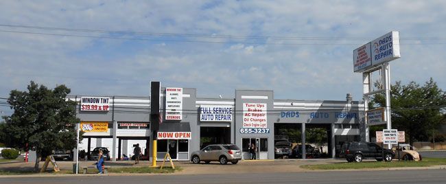
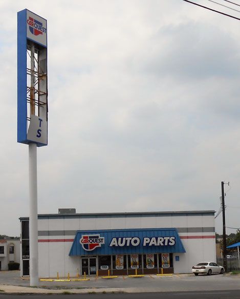
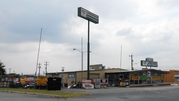
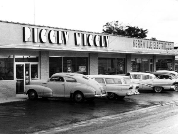
Gas Stations and car related businesses in San Antonio


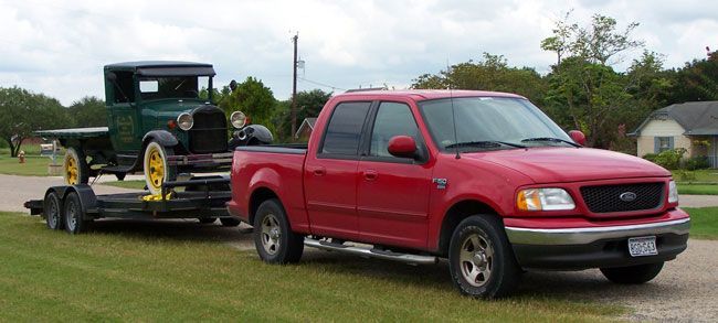
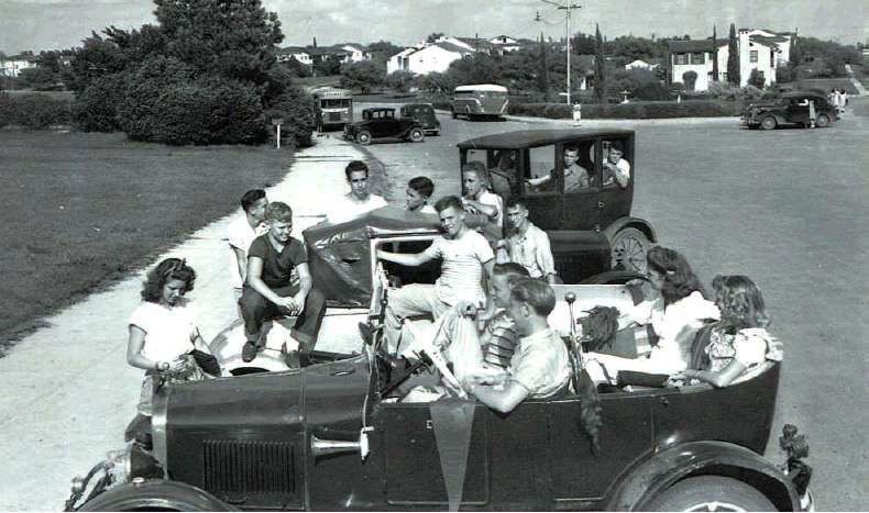
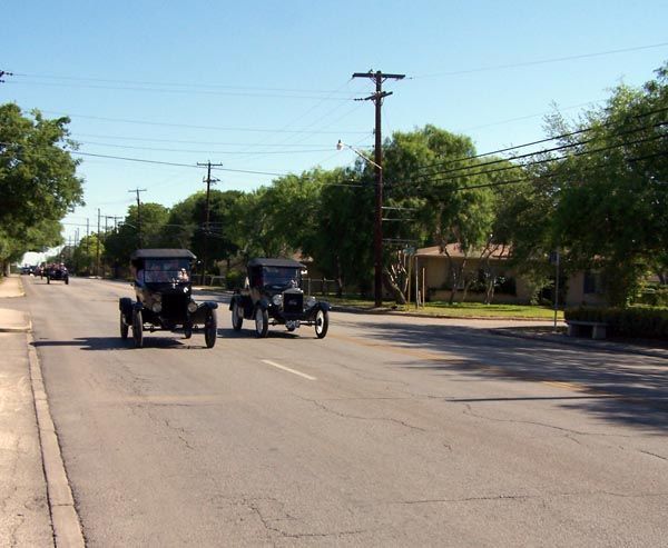
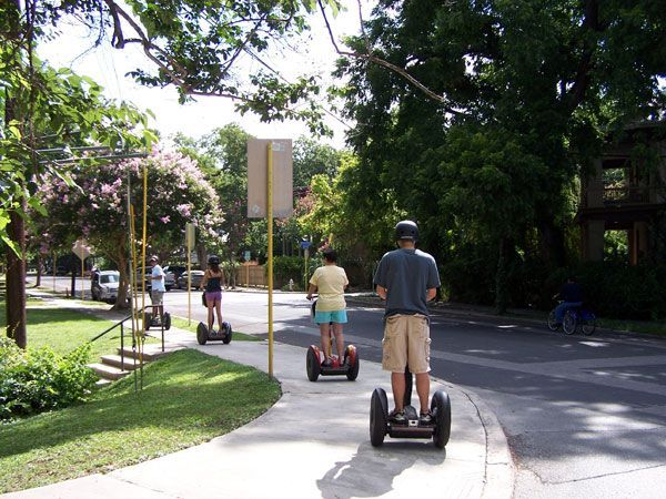
Modern Horses in San Antonio
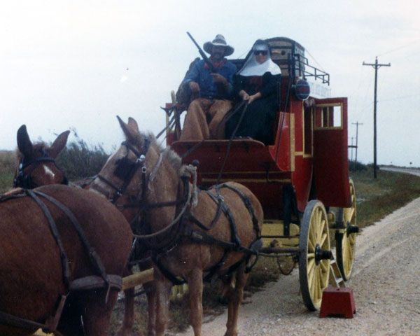
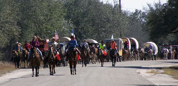
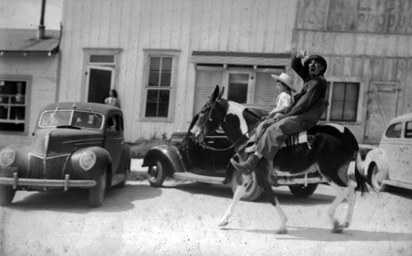
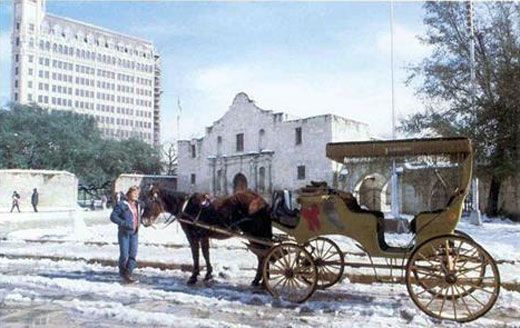
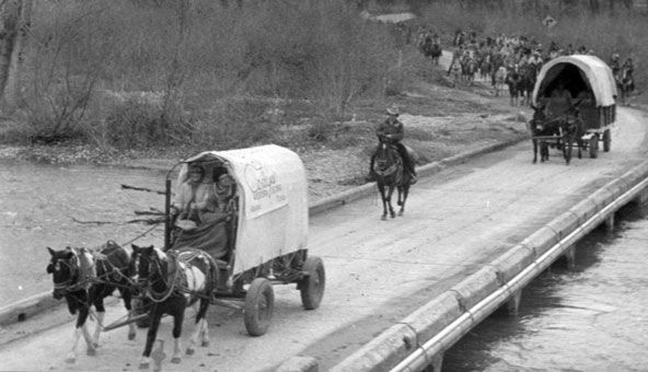
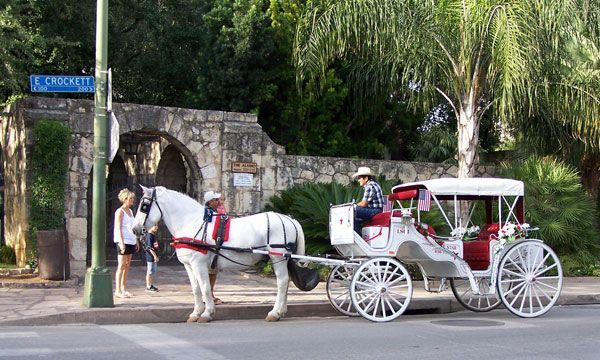
Modern Horses in San Antonio
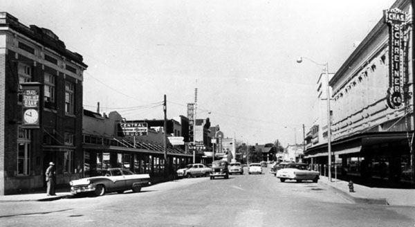
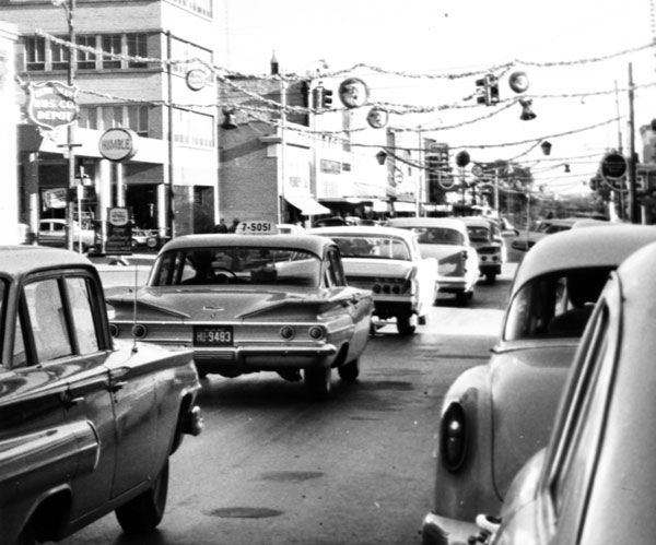
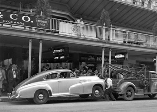
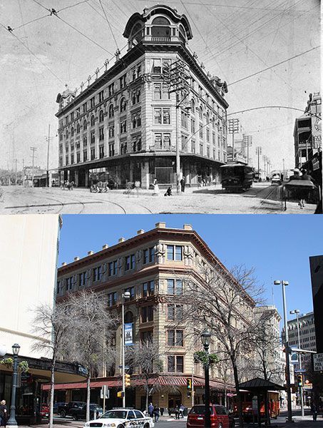
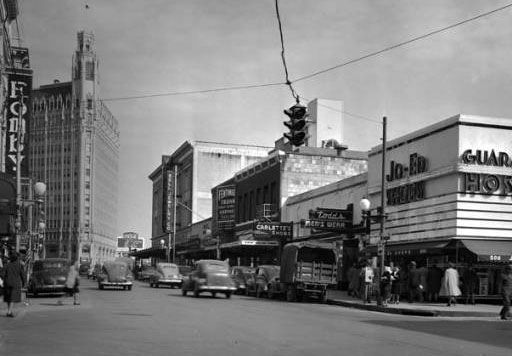
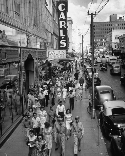
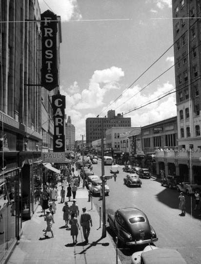
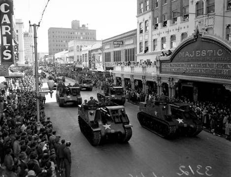
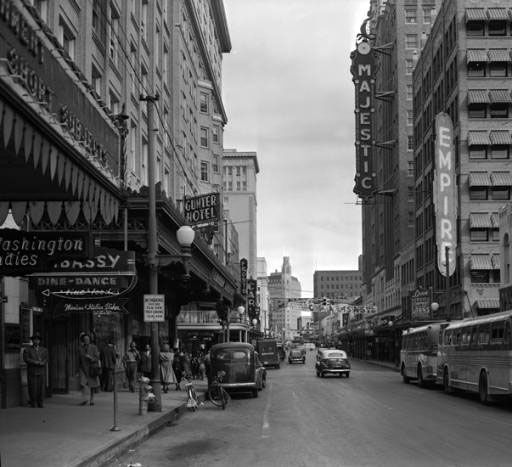
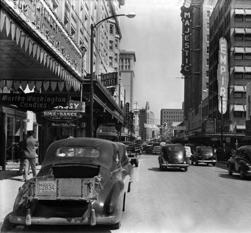
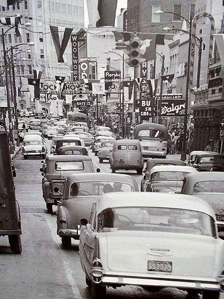
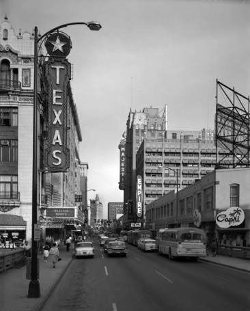
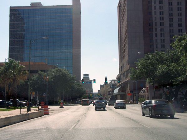
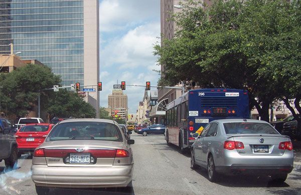
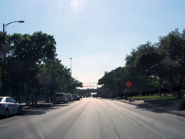
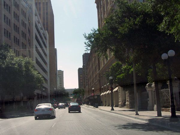
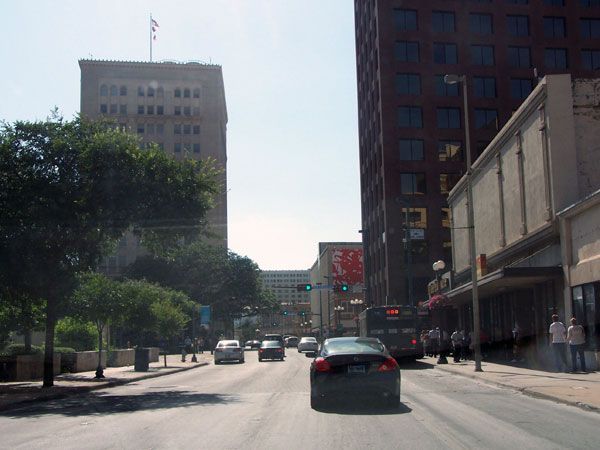
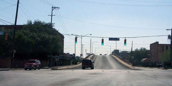
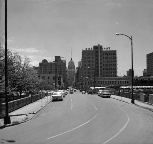
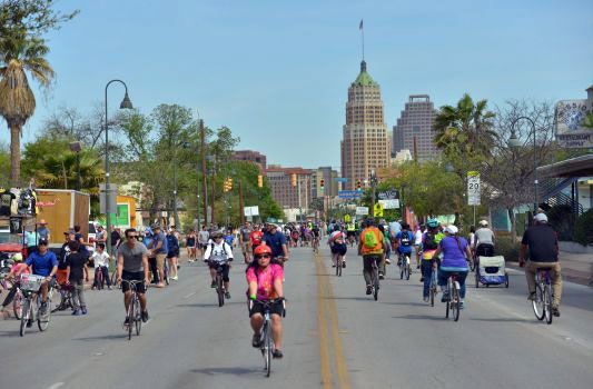
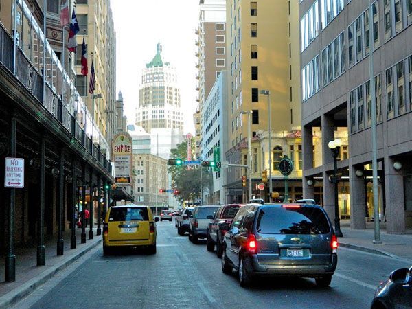
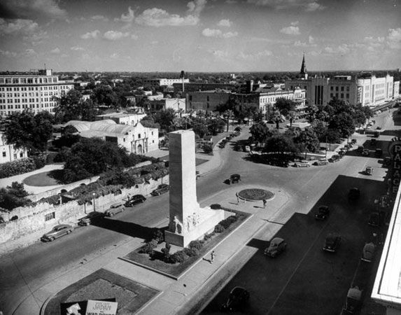
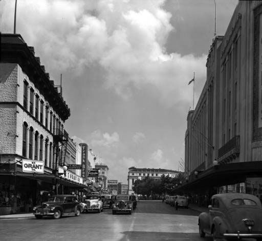
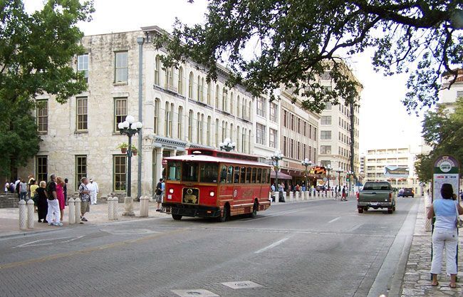
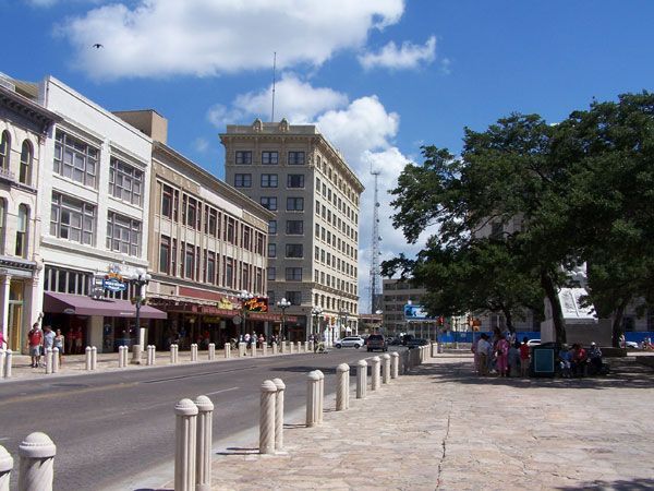
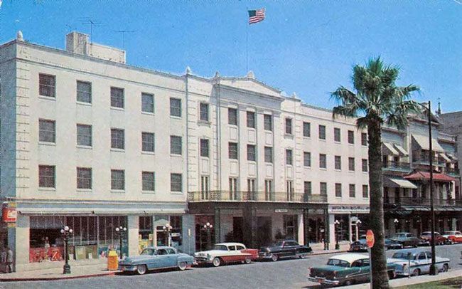
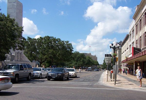
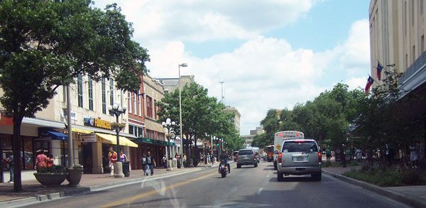
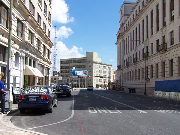
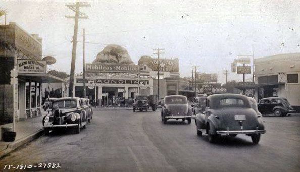
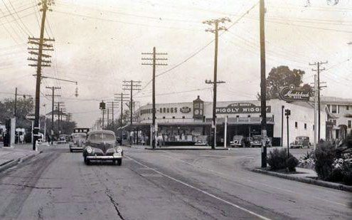
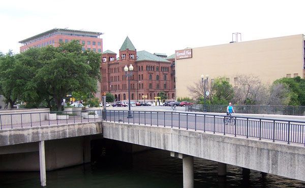
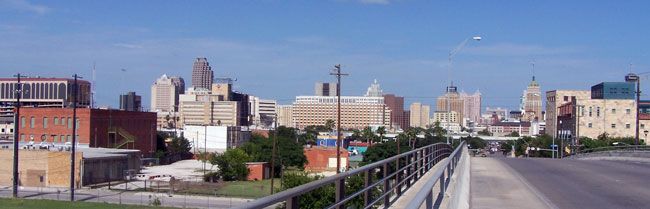
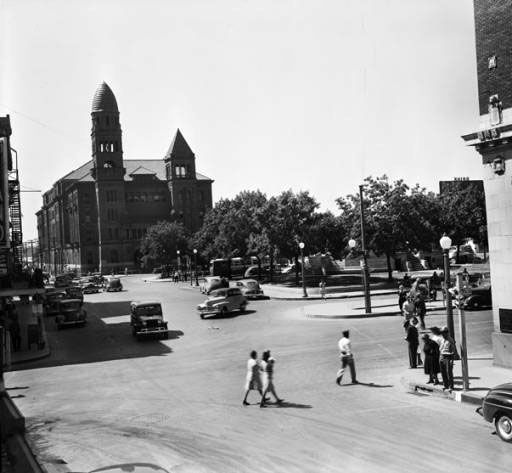
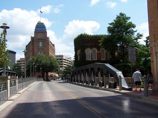
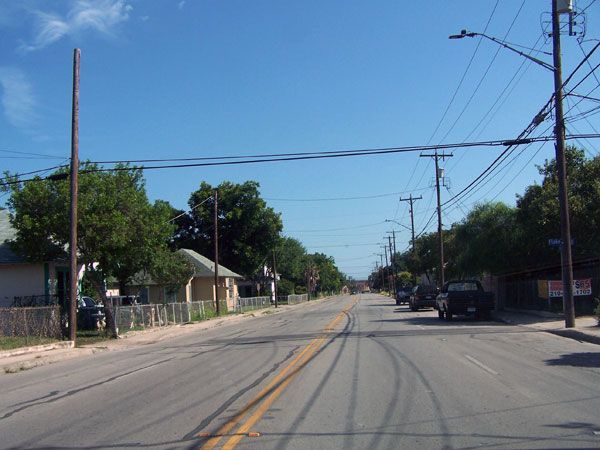
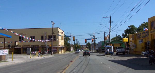
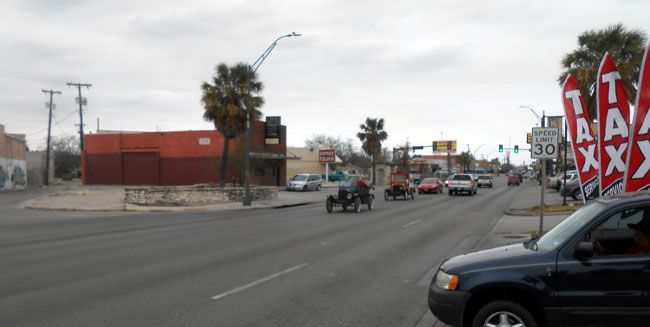
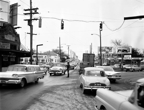
San Antonio Street Scenes
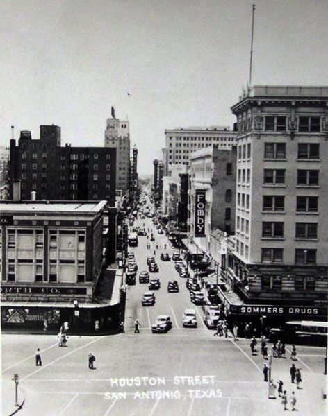
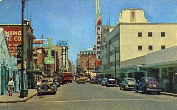
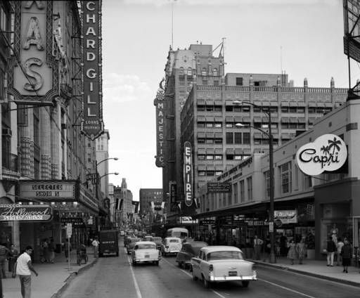
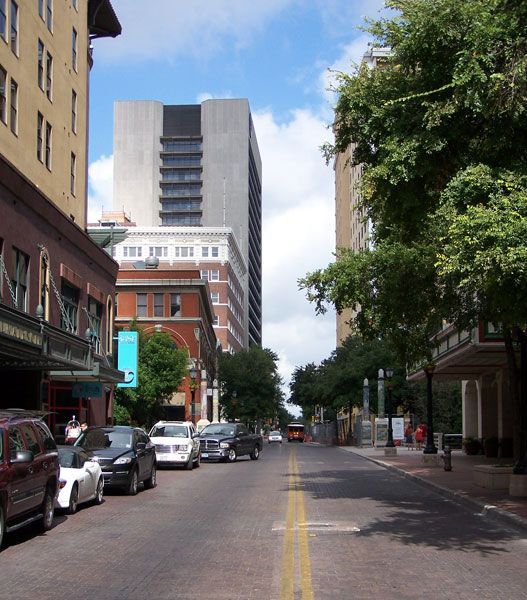
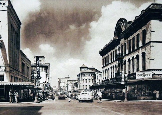
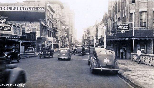
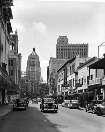
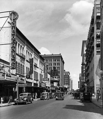
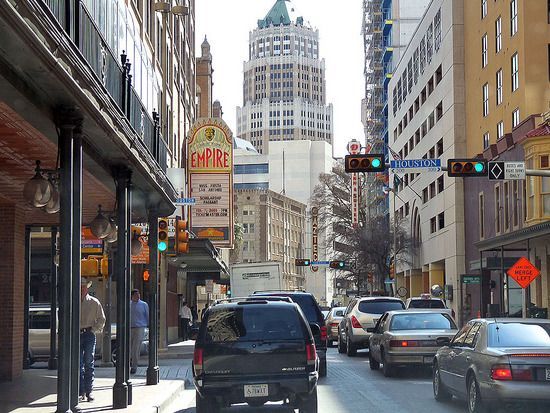
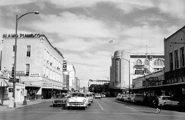
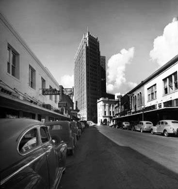
Houston Street, San Antonio
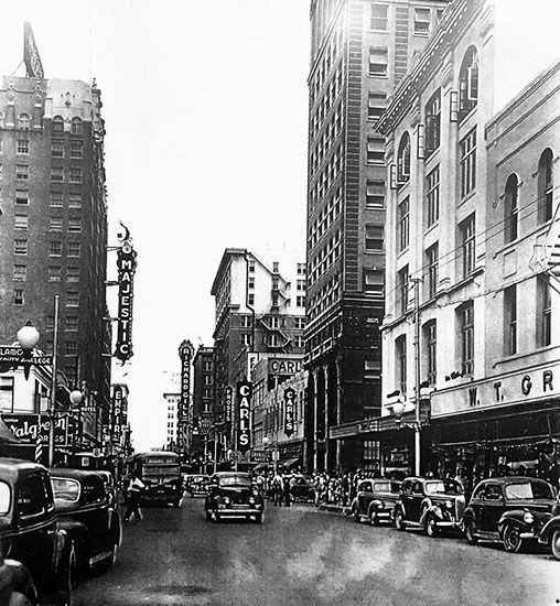
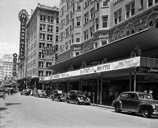
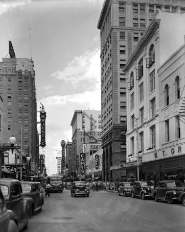
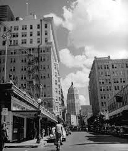
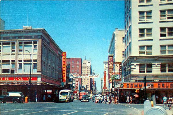
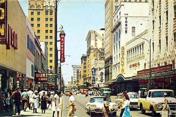
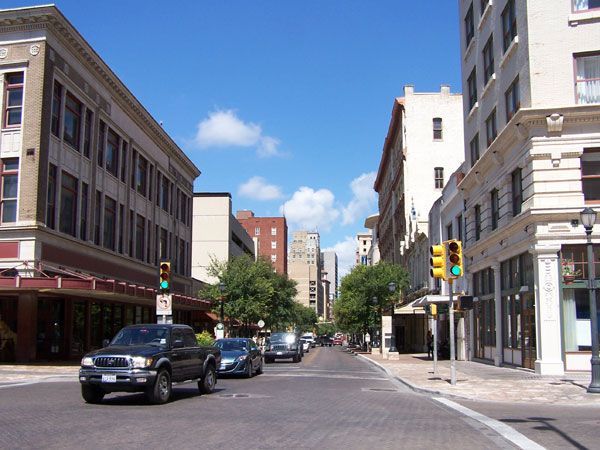
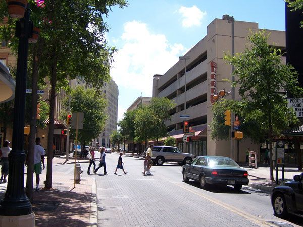
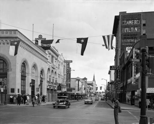
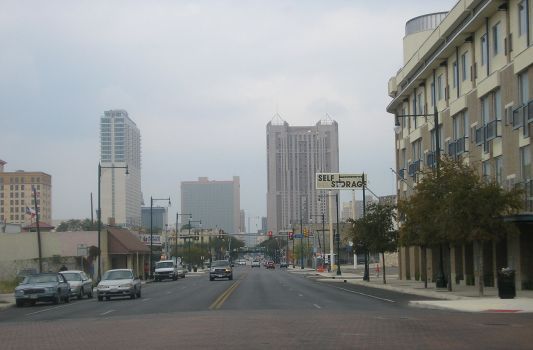
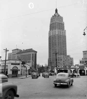
Commerce Street, San Antonio
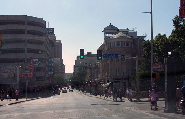
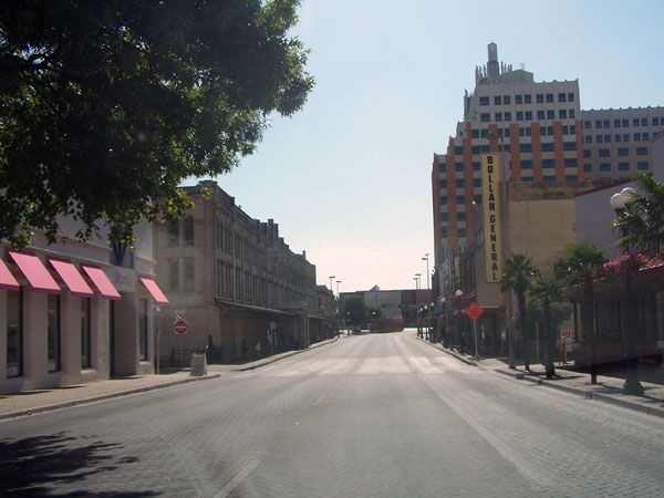
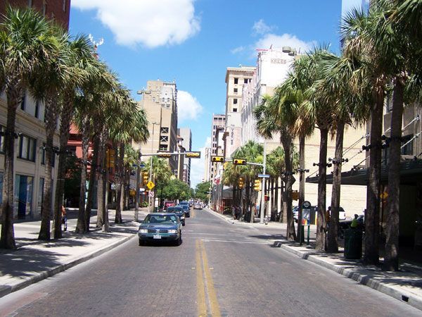
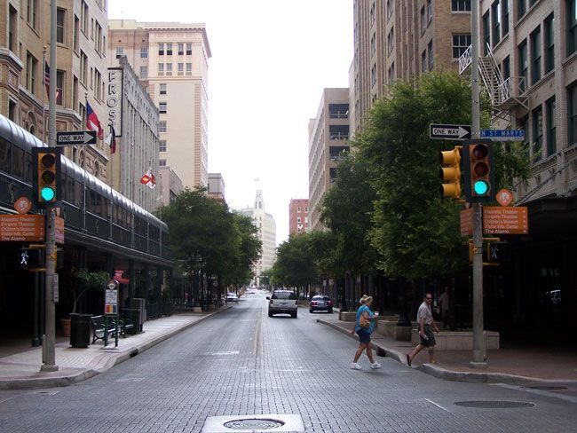
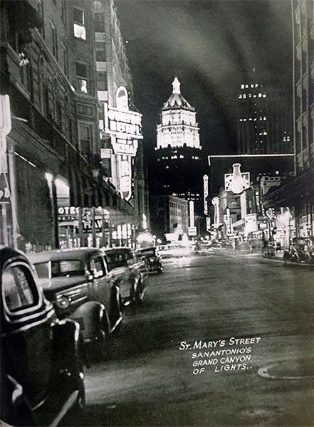
St. Mary's Street, San Antonio
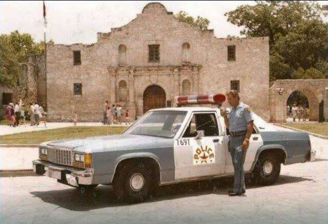
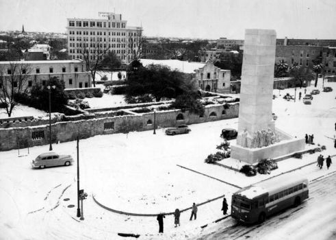
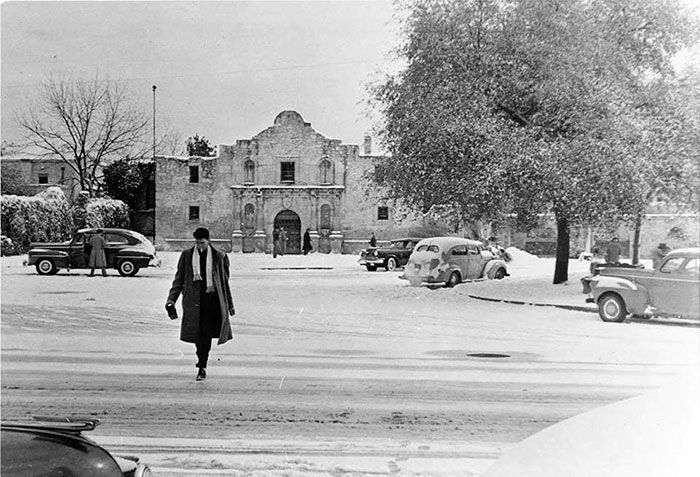
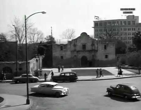
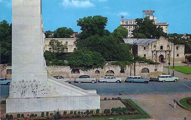
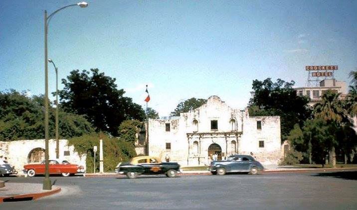
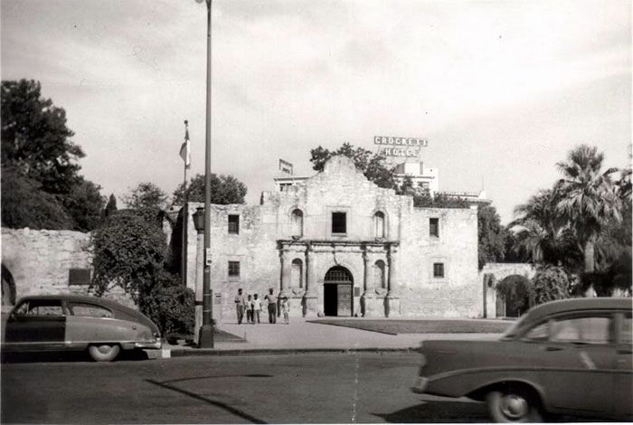
Alamo Plaza, San Antonio
Alamo Street, San Antonio
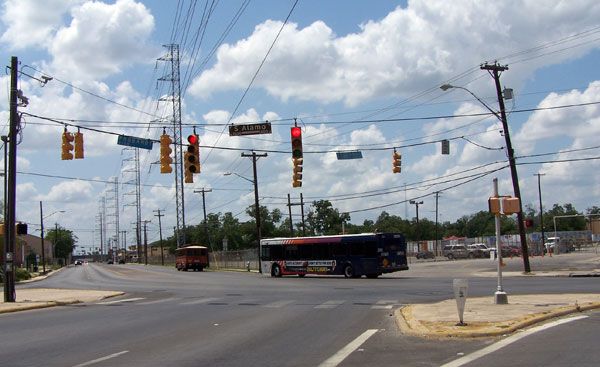
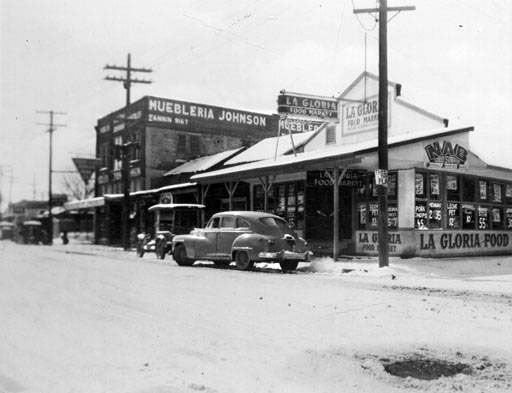
Fredericksburg Road, San Antonio


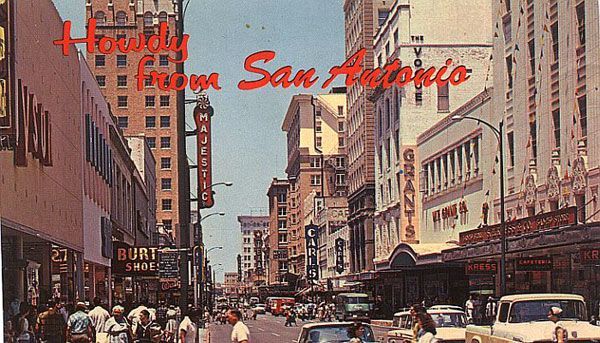
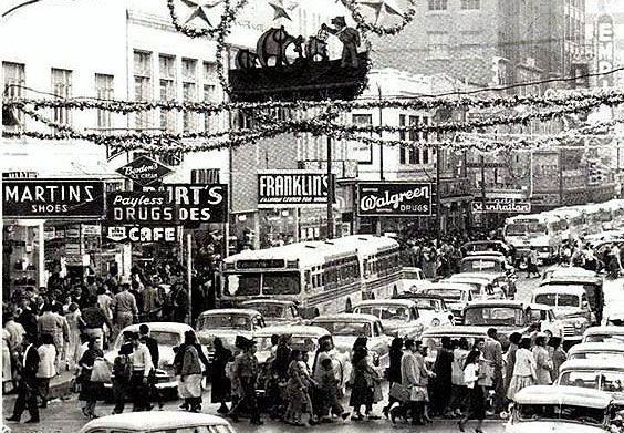
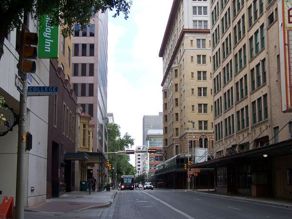
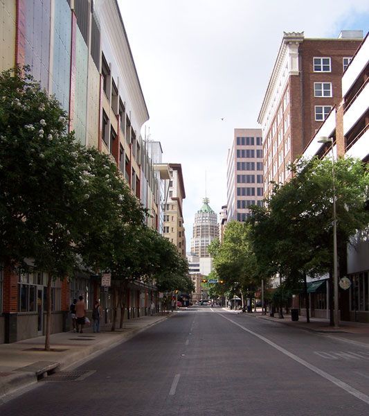
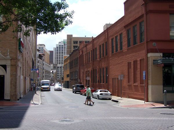
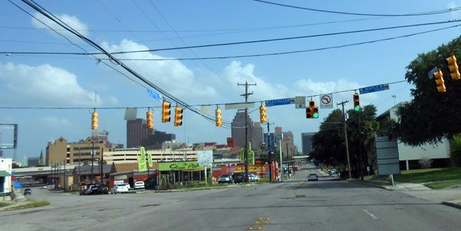
Other Downtown San Antonio Street Scenes
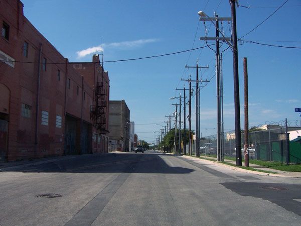
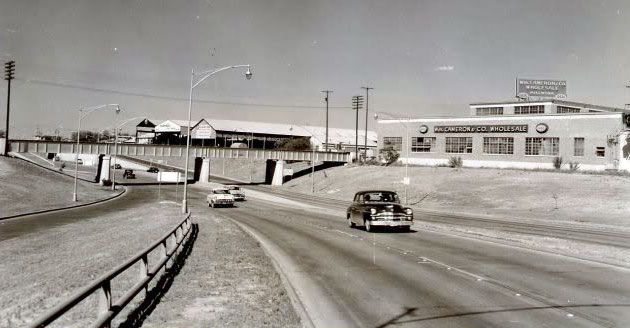
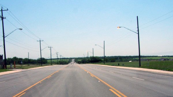
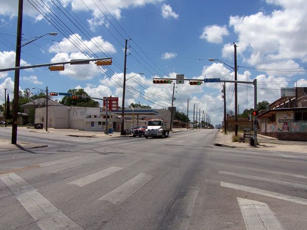
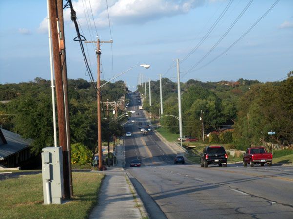
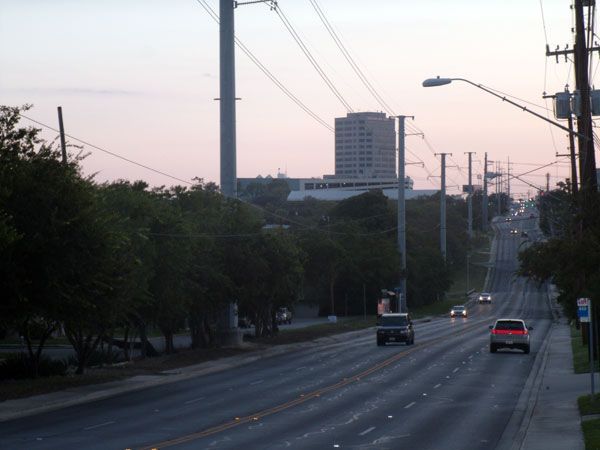
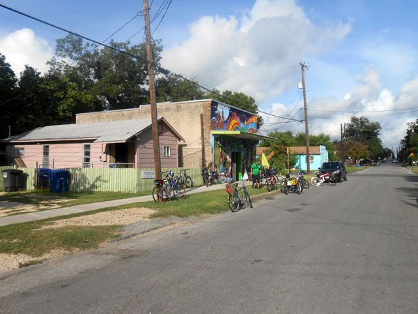
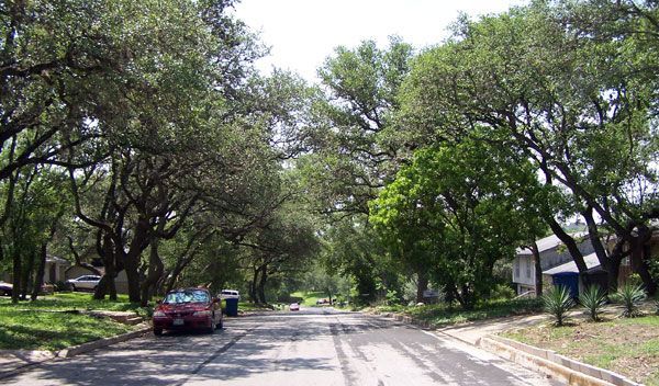
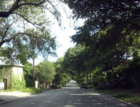
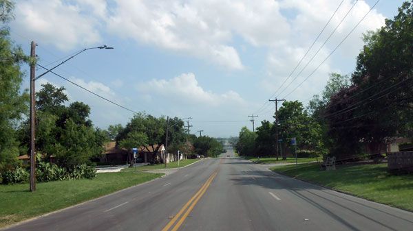
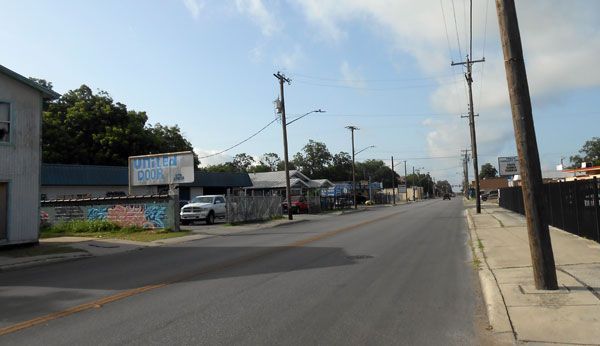
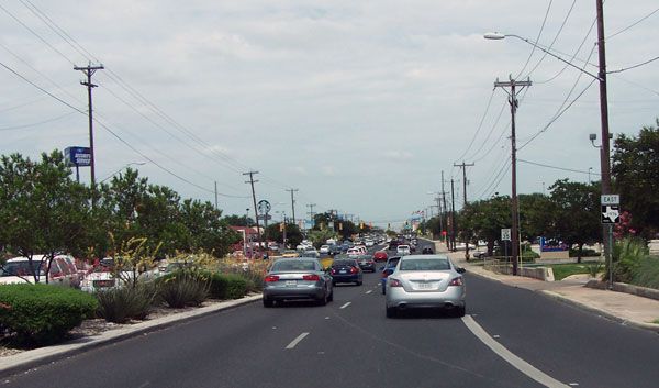
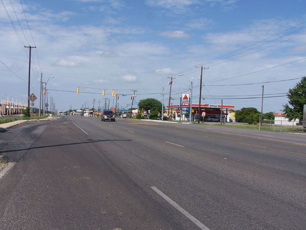
Suburban Street Scenes, San Antonio

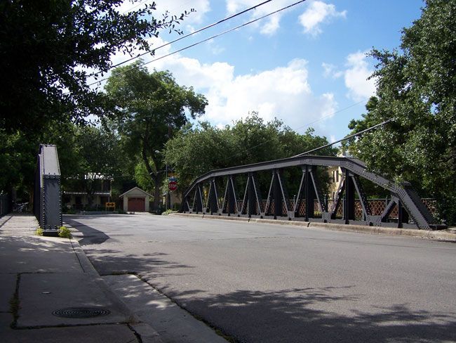
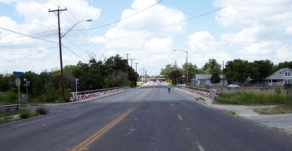
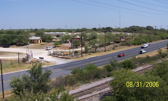
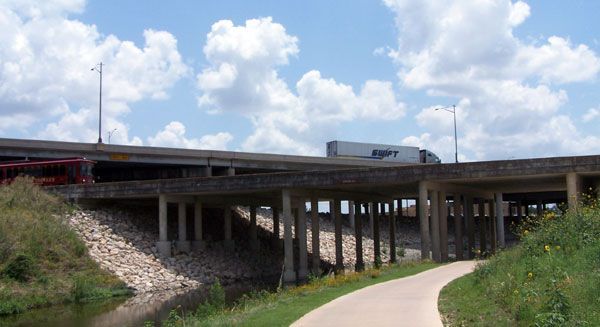
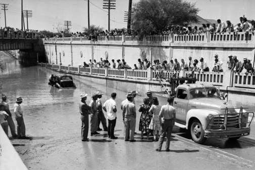
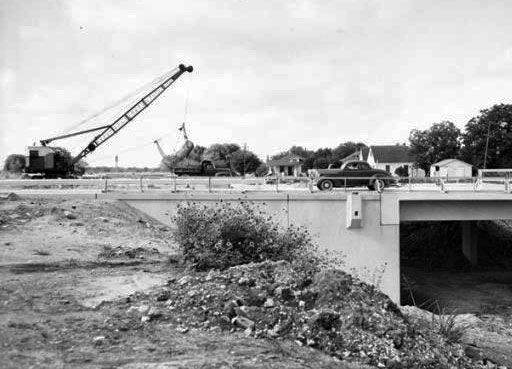
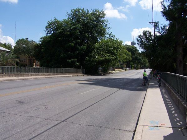
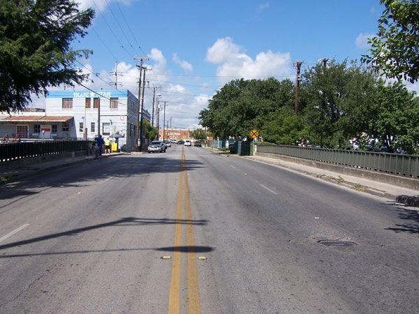
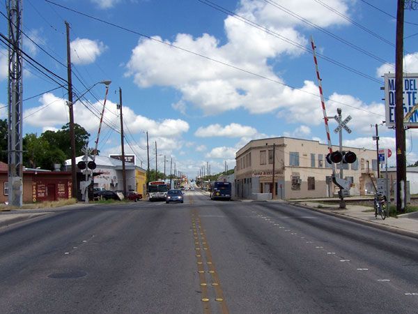
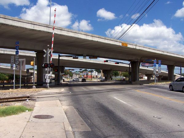
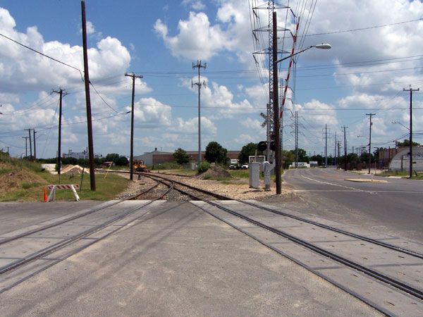
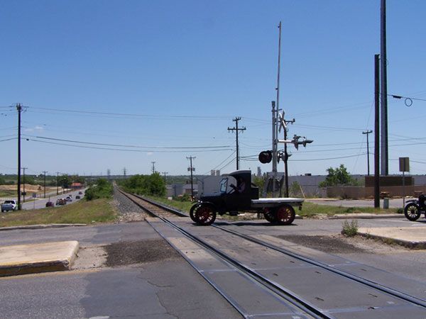
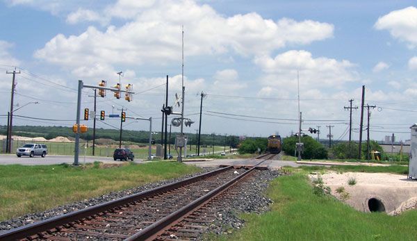
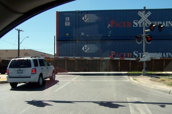
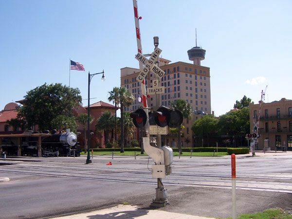
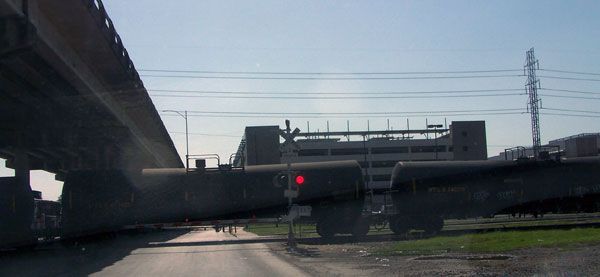
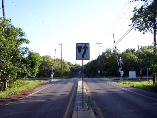
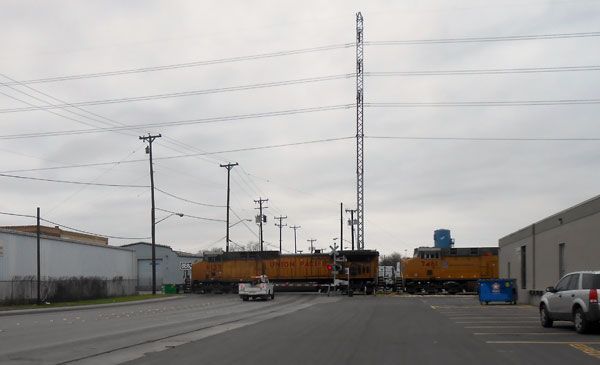
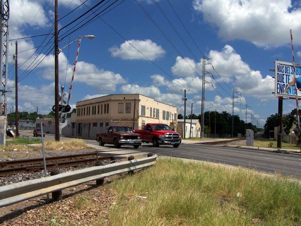
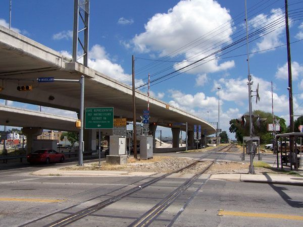
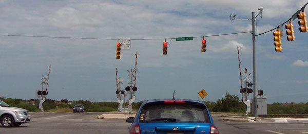
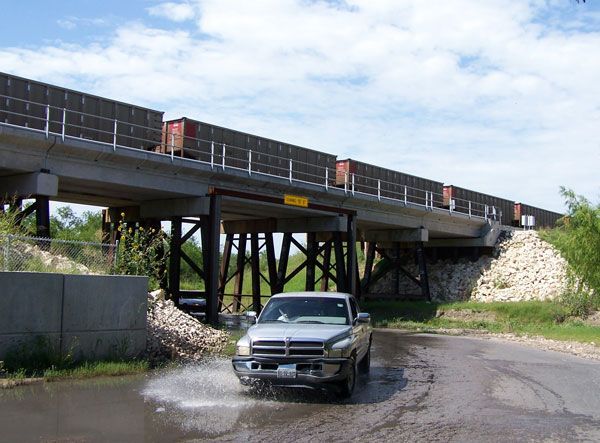
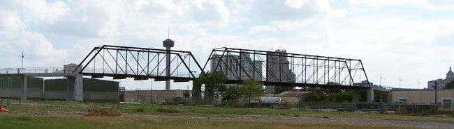
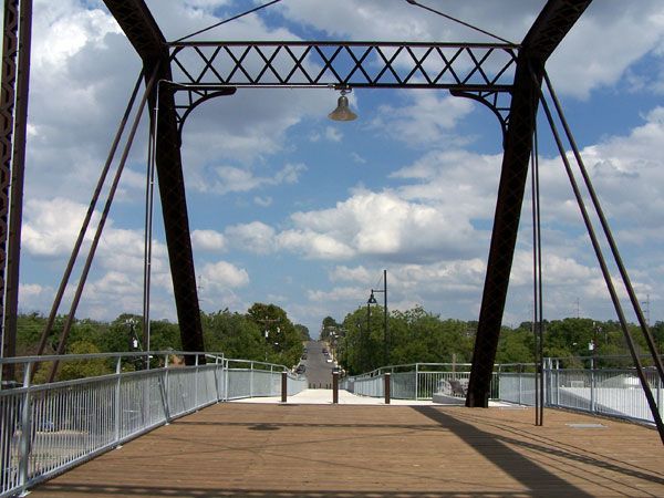
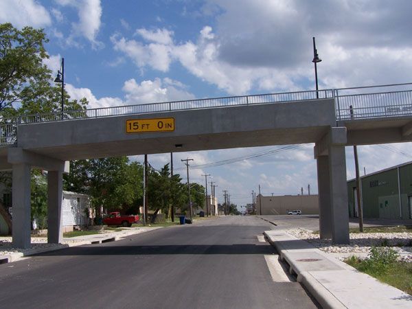
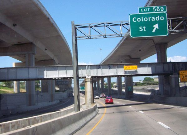
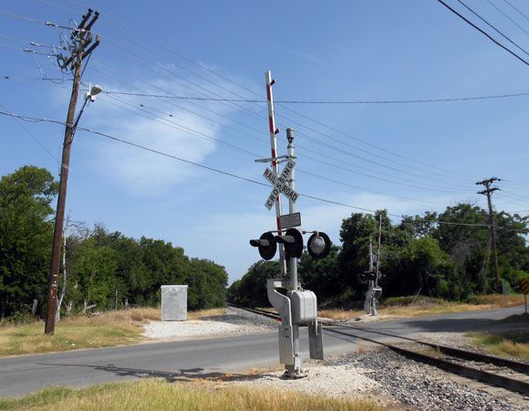
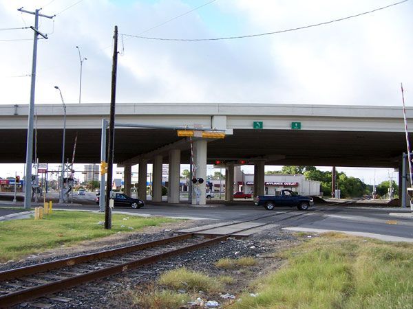
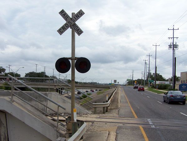
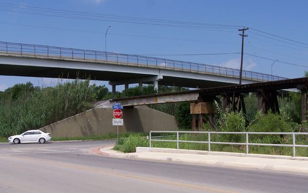
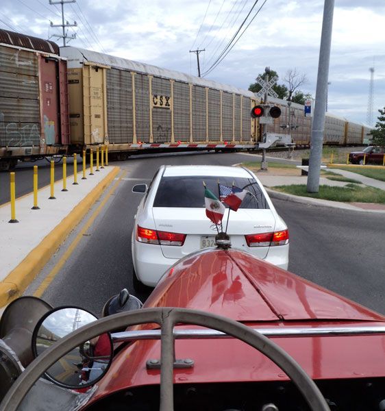
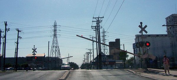
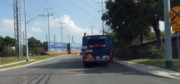
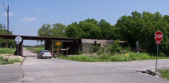
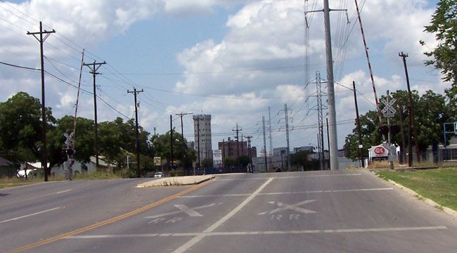
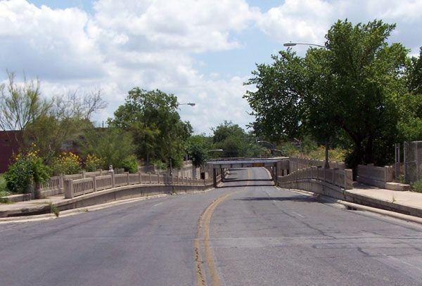
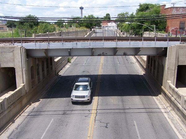
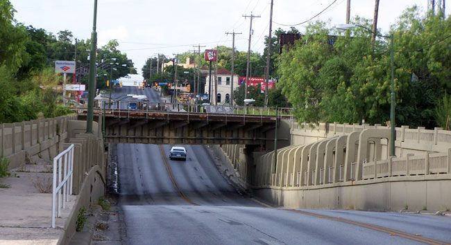
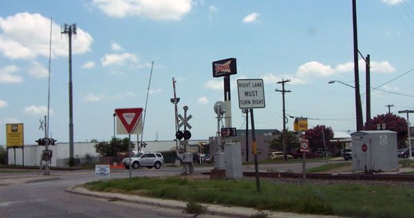
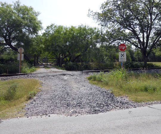
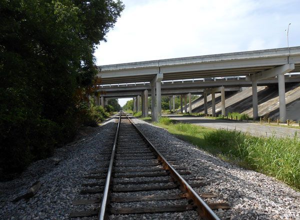
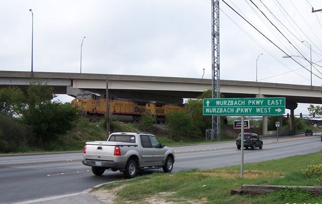
San Antonio railroad grade crossings, bridges and underpasses
Frank Crothers at the San Antonio bicycle race track.